What is recorded here
On a gentle W-facing slope with bog immediately to W and S. Indicated on the 1914 OS 6-inch map as an oval enclosure. A roughly circular area (44m N-S) defined by a flat-bottomed boggy fosse (Wth 4m; D 0.6m) and a flat-topped external bank (Wth 2m; ext. H 0.5m; int. H 1m) SSE-NNE. Neither the fosse nor the bank are visible at ground level NNE-SSE; a quarry hollow is roughly on the line of the fosse at SE. The interior is grass-covered.
The above description is derived from the published 'Archaeological Inventory of County Sligo' compiled by Ursula Egan, Elizabeth Byrne, Mary Sleeman with Sheila Ronan and Connie Murphy (Dublin Stationery Office, 2005).
Date of upload: 18 January 2008
The monument record does not grant public access. Check the route and ask the landowner before entering private land.
- What survives
- Recorded monument
Places near here
 IndicatedFairy fort / earthen ringfort · 821 yd
 Indicated (1838).Fairy fort / earthen ringfort · 1437 yd
 Ballyara Castle (in Ruins)Castle, unclassified · 1.9 mi
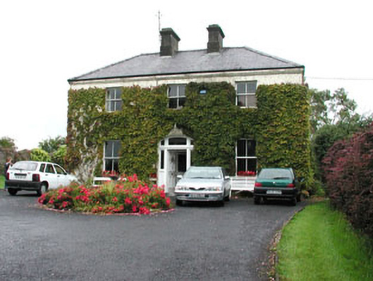 Springmounthouse · 2.0 mi
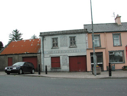 McIntyre and Durkinfuneral home · 2.2 mi
 Castle (Site of)Castle, unclassified · 2.6 mi
 Tawnyart WoodWood · 2.7 mi
 Muckelty HillMountain / peak · 2.7 mi
 New WoodWood · 3.1 mi
 Mass RockNamed rock · 4.2 mi
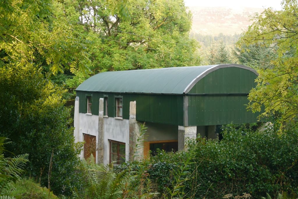 CloonacoolMountain / peak · 4.3 mi
 The Turf Stack RockNamed rock · 4.9 mi