What is recorded here
In pasture, on gentle E-facing slope. Slight surface trace of circular area (diam. c. 24m) defined by inner bank (Wth c. 2.58m; int. c H 0.3m; ext. c. H 0.25m). Intervening fosse (Wth c. 1.8m) defined by shallow depression (D c. 0.25m) with occasional nettles. Trace of levelled outer bank (Wth c. 3.6m; int. c. H 0.2m; ext. c. H 0.4m). Possible entrance (Wth c. 3.5m) at E. Interior slopes down gently to E. Enclosure visible as a circular cropmark on aerial photograph (B.K.S. 2800190).
Compiled by: Jean Farrelly
Date of upload: 26 August 2011
The monument record does not grant public access. Check the route and ask the landowner before entering private land.
- What survives
- Recorded monument
Places near here
 Site of Corroge ChurchChurch · 996 yd
 CastleCastle, ringwork · 1248 yd
 Garranacanty MoatCastle, motte · 1311 yd
 Sunday WellHoly well · 1320 yd
 I.R.A. 3rd. Tipperary Brigade MemorialMemorial · 1642 yd
 European ashEuropean ash · 1718 yd
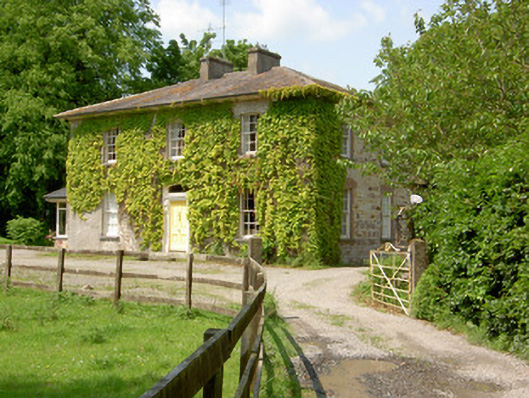 Wolfsden Househouse · 1.2 mi
 Friarsfield Househouse · 1.2 mi
 It's a long way to TippereryHeritage attraction · 1.6 mi
 The Maid of ErinMemorial · 1.8 mi
 The RockViewpoint · 3.2 mi
 Christ the KingViewpoint · 3.9 mi