What is recorded here
Shown on the 1st ed. (1838) of the OS 6-inch map as a circular enclosure (est. diam. c. 40m) with a later field boundary, which also acts as both a townland and parish boundary, running NNE-SSW over the monument and separating the W-third of the interior from the remaining two-thirds to the E. By the time of the latest ed. (1910) of the OS map, nothing is recorded to the E of the field boundary, with that portion of the monument to the W depicted as a quadrant of the original (est. diam. c. 25m E-W) defined by a steep scarp. On a rise in well-drained pasture. In 1972, it was described as partially quarried away, steep-sided, flat-topped earthwork (SMR file). Visible on GoogleEarth (Last accessed 04-07-2012)
Compiled by: Gearóid Conroy
Date of upload: 04 July 2012
The monument record does not grant public access. Check the route and ask the landowner before entering private land.
- What survives
- Recorded monument
Places near here
 Enclosure in Corbally (newbridge Rural Ed)Enclosure · 786 yd
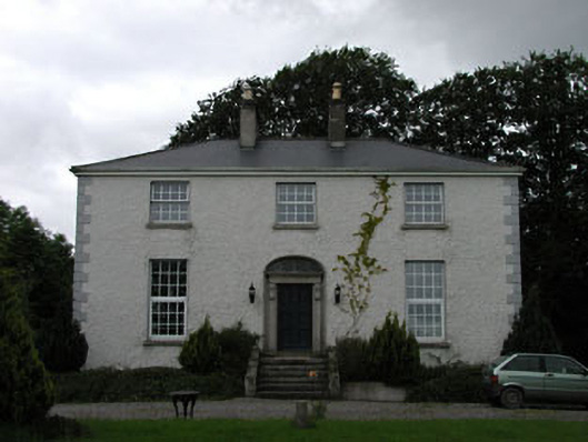 Dowdingstown Housefarm house · 1128 yd
 Enclosure in Walterstown (carnalway Ed)Enclosure · 1336 yd
 Church in RuinsChurch · 1427 yd
 European ashEuropean ash · 1.4 mi
 IndicatedCastle, unclassified · 1.8 mi
 Harristown CastleCastle, tower house · 2.0 mi
 Sillagh Bog WoodForest · 3.0 mi
 Newbridge SilverwareMuseum · 3.5 mi
 Councillor Jim MileyMemorial · 7.5 mi
 Proclamation of the Irish RepublicMemorial · 7.5 mi
 Grand Canal WayVisitor information · 8.4 mi