
What is recorded here
The rectory of Herbertstown which was one of several properties surrendered to the Crown in 1580 by Nicholas White, master of the rolls, including; 'the site of the priory of the B.V.M. of Connall (KD023-016----), co. Kildare, lands of Great Connall, Old Connall, Lowestowne, Clonings, Oldeton, Walsheston, Ballymanny, and Little Marisheton, the rectories of Great Connall, Laditon (KD023-002----), Lowistowne (KD023-013----), Harberteston, Dowdingestowne, Clonings, Walsheston, and Oldton' (Nicholls 1994, 508). In 1552 after the Dissolution of the Monasteries the estate of the priory of the B.V.M. of Connall (KD023-016----) including the rectory of Herbertstown was leased by the Crown for 21 years to Edward Randolf (Nicholls 1994, 208).
Rectory located in the parish of Ladytown which today consist of a simple rectangular, ivy clad structure (int dims. 8.9m E-W; 4.7m N-S) built of roughly coursed limestone rubble (wall T 0.8m). The central and S half of the E gable wall along with the adjoining SE angle has collapsed, while the rest of the walls survive standing to full height. There are two opposed doorways in the N and S walls towards the W end, with two-centred external arches and flat-headed rear arches, The doorway in the S wall has a shallow, roofless porch. Inside the doorway there is evidence of drawbar slots in the embrasure of both doorways. There is a plain lintelled slit ope or window in the W wall, and similar opposed opes or windows in the N and S walls located off centre to E. There is a small flat-headed wall cupboard or aumbry in SW angle of church. A row of corbels which supported a wooden floor inside W end of church are visible along internal face of W gable at first floor level. The presence of the corbels suggests that there was a two storey priests residence at W end of church. There is also evidence of holes in the W end of the N and S walls which appear to have supported some form of wooden structure in the ground floor of the priests residence. There is evidence of well preserved internal lime plaster on inner face of the W wall of the church.
Some years ago two medieval fonts (KD023-018002-/018004-) were removed from the church and are now on display in the graveyard of nearby St. Peters R. C. Church (KD024-066----/067----) (Gibson 1990, 60). Medieval church ruins described by Harold Leask in 1938 as following; ‘the remains, which stand in a graveyard not enclosed from the fields, are those of a small, very plain church, about 35 feet [10.6m] by 21 feet [6.4m] in external dimensions. Its walls are 2 feet 9 inches [0.85m] thick and are built in rough flag-like masonry. The east wall and south east quoin are ruined to the foundations. There are two doorway opposite to one another in the south and north walls and traces of a shallow porch to the former. The doorways have rough arches and the other openings; windows in the west, north and south walls are simple loops with lintelled heads. The building is otherwise featureless’ (H.G. Leask 01/06/1938).
See attached sketch plan by H.G. Leask and second plan by Anna Brindley 24/05/1986, photos of church courtesy of William Gibson
Compiled by: Gearóid Conroy
Revised by: Caimin O'Brien
Date of revised upload: 23 April 2019
A local church or high cross; wider significance not recorded.
The monument record does not grant public access. Check the route and ask the landowner before entering private land.
- What survives
- Recorded monument
Places near here
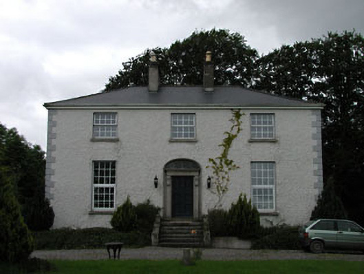 Dowdingstown Housefarm house · 804 yd
 Lime Kiln (ruin)Ruins · 865 yd
 Enclosure in Stephenstown NorthEnclosure · 1065 yd
 Enclosure in Corbally (newbridge Rural Ed)Enclosure · 1334 yd
 IndicatedCastle, unclassified · 2.0 mi
 European ashEuropean ash · 2.2 mi
 Site of CastleCastle, unclassified · 2.4 mi
 Newbridge SilverwareMuseum · 2.8 mi
 Sillagh Bog WoodForest · 3.6 mi
 Grand Canal WayVisitor information · 7.6 mi
 Councillor Jim MileyMemorial · 8.0 mi
 Proclamation of the Irish RepublicMemorial · 8.0 mi
Other information
Photo: Credit not shown in the picture search · Rights wording not checked; contact us if this picture should be removed