What is recorded here
In improved pasture, on a precipice edge, overlooking river valley to W, on land falling to the N. The probable remains of a backfilled fosse (overall Wth 5.45m; basal Wth 1.75m; D 0.1m; L 16m) are visible in the NW quadrant and the interior slopes to the W. On the 2nd (1905) ed. OS 6-inch map the monument is defined by a scarp from SE-W-N with an outer fosse in the NW quadrant, a field boundary, since removed, is incorporated into the S-SW edge of the monument with a pond in the S sector immediately S of the field boundary. A stream is depicted running N-S along the W edge of the enclosure. According to Cahill (1982) this enclosure was 'just barely visible at ground level'.
Compiled by: Jean Farrelly
Date of upload: 26 August 2011
The monument record does not grant public access. Check the route and ask the landowner before entering private land.
- What survives
- Recorded monument
Places near here
 Enclosure in MagowryEnclosure · 887 yd
 Hut site in Curraheen (peppardstown Par.)Hut site · 942 yd
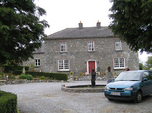 Temple Viewhouse · 1308 yd
 ‘Magowry Church (in ruins)’Church · 1752 yd
 CastleCastle, ringwork and bailey · 1.1 mi
 (Site of) Drangan CastleCastle, unclassified · 1.3 mi
 Knockuragh HillMountain / peak · 1.9 mi
 Eagle HillMountain / peak · 2.1 mi
 Fenane WoodForest · 4.0 mi
 Silver FirSilver Fir · 4.0 mi
 East GateMemorial · 4.8 mi
 Gobban Saer's GraveArchaeological place · 7.6 mi