What is recorded here
In wet partially reclaimed pasture, abutting the townland boundary with Brackyle, to W. A possible enclosure (LI024-131----) lies 110m to NW. Not depicted on OS historic mapping, although buildings are depicted within this area on all map editions. Monument identified as a penannular-shaped earthwork by the Bruff aerial photographic survey in 1986 (Bruff 115: AP 4/3676). Monument is visible as roughly oval-shaped tree-lined area (approx. dims. 31m NW-SE; 35m NE-SW) on Digital Globe orthophotos taken 2011-13. Partially visible on Google Earth orthoimages taken 28/06/2018. Could be the remains of a post-1700 tree planted enclosure contemporaneous with farmstead depicted on the OS 6-inch map.
See attached Google Earth orthoimage and Bruff aerial survey image labelled Bruff 115.
Compiled by: Alison McQueen and Vera Rahilly
Date of upload: 24 July 2020
The monument record does not grant public access. Check the route and ask the landowner before entering private land.
- What survives
- Recorded monument
Places near here
 Kilmore Burial GroundBurial ground · 541 yd
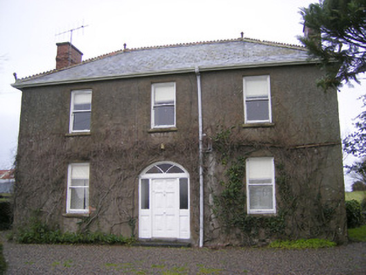 Foxfieldhouse · 671 yd
 Shandangan Bridgebridge · 913 yd
 Enclosure in Cross (coonagh By.)Enclosure · 1068 yd
 ToberagaddySpring · 1.1 mi
 Kilduff CastleCastle · 1.2 mi
 Kilduff Castle (in ruins)Castle, tower house · 1.2 mi
 KnockseefinMountain / peak · 2.6 mi
 Oola HillMountain / peak · 3.5 mi
 St. Patrick's WellSpring · 5.0 mi
 Graveyard in AbingtonGraveyard · 6.6 mi
 Flat cemetery in Knockainy WestFlat cemetery · 9.3 mi