What is recorded here
Cropmark of roughly circular-shaped enclosure (diam. c. 50m) transected at S by field boundary running E-W visible on Digital Globe aerial imagery.
See attached Google Earth orthoimages
Compiled by: Caimin O'Brien based on details provided by Jean-Charles Caillère
Date of upload: 2 November 2021
The monument record does not grant public access. Check the route and ask the landowner before entering private land.
- What survives
- Recorded monument
Places near here
 Tooreen Castle (in ruins)Castle, tower house · 569 yd
 Carrigparson Church (in ruins)Church · 1484 yd
 Grave YardGraveyard · 1499 yd
 Ahabeg Househouse · 1517 yd
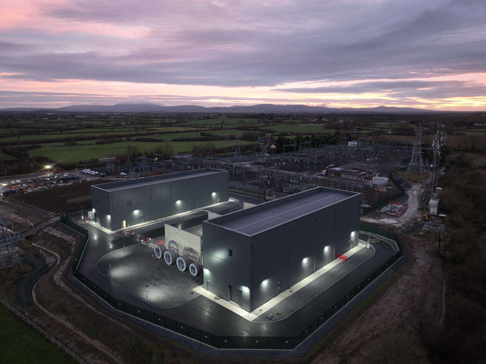 Enclosure in Killonan (clanwilliam By., Ballyvarra Ed)Enclosure · 1534 yd
 Bawn in CarrigarreelyBawn · 2.7 mi
 Campus MapVisitor information · 3.1 mi
 Visitor CentreVisitor information · 3.1 mi
 Fountain SculptureHeritage attraction · 3.2 mi
 Graveyard in AbingtonGraveyard · 4.9 mi
 Carrigparson Househouse · 1536 yd
 Killeen Grave Yd.Graveyard · 1.1 mi