What is recorded here
Situated on high ground in an upland area with the nearby Fishmoyne River to the NW. Only a small portion of the N bank (Wth 2m; H 1m) survives where it acts as a field boundary; elsewhere it has been destroyed. The interior has been quarried away and farm sheds have been inserted.
The above description is derived from 'The Archaeological Inventory of County Tipperary. Vol. 1 - North Tipperary' compiled by Jean Farrelly and Caimin O'Brien (Dublin: Stationery Office, 2002). In certain instances the entries have been revised and updated in the light of recent research.
Date of upload/revision: 22 September 2008
This remains an important historical record, but the official description says the monument is no longer visible or has been destroyed. The monument record does not grant public access. Check the route and ask the landowner before entering private land.
- What survives
- No visible remains or recorded as destroyed
Places near here
 Enclosure in RosnamulteenyEnclosure · 511 yd
 Ross Cottagehouse · 987 yd
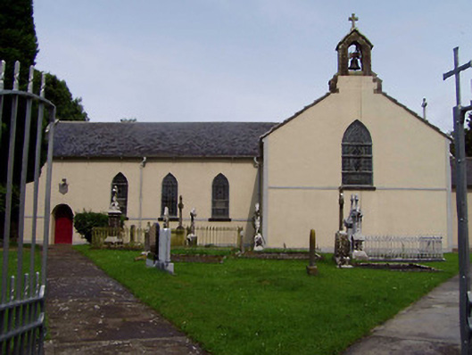 Ileigh Catholic Churchchurch/chapel · 1088 yd
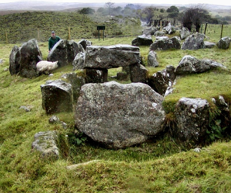 Enclosure in KnockanevinEnclosure · 1448 yd
 CastleCastle, ringwork · 1.1 mi
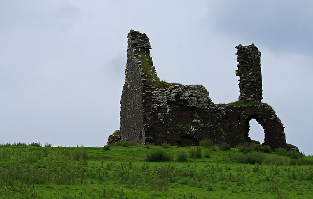 Bawn in Cullahill (glenkeen Par.)Bawn · 1.2 mi
 CoumsallahaunMountain / peak · 3.5 mi
 Moher HillMountain / peak · 3.5 mi
 Kilvilcorris BogForest · 3.5 mi
 Killavalla WoodForest · 4.6 mi
 Silvermines ViewpointViewpoint · 10 mi
 James Devaney MemorialMemorial · 12 mi