What is recorded here
Not marked on any ed. OS 6-inch maps but identified as a possible enclosure of archaeological significance from GSI aerial photographs taken in April 1973 (GSI N 516/15). Not visible at ground level.
The above description is derived from the published 'Archaeological Inventory of County Offaly' (Dublin: Stationery Office, 1997). In certain instances the entries have been revised and updated in the light of recent research.
Date of upload: 23 May 2011
The monument record does not grant public access. Check the route and ask the landowner before entering private land.
- What survives
- Recorded monument
Places near here
 Castle in ruinsCastle, unclassified · 609 yd
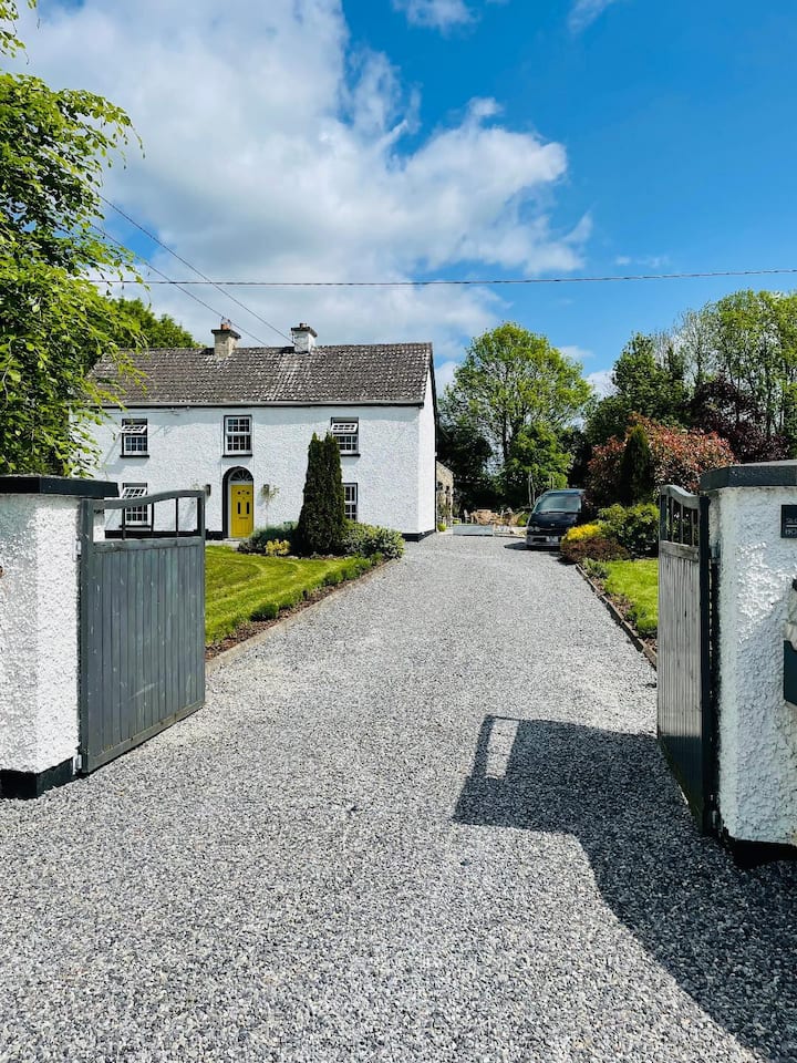 Enclosure in Coolanarney,derrymore (ballyboy By.),lowerton MoreEnclosure · 1216 yd
 Convent in RuinsReligious house, Franciscan friars · 1252 yd
 R. C. Chapel in ruinsChurch · 1463 yd
 Enclosure in BallyfarrellEnclosure · 1687 yd
 Garbally Castle in RuinsCastle, unclassified · 1.4 mi
 Graveyard in PallasGraveyard · 1.4 mi
 Lowerton HillMountain / peak · 1.5 mi
 Troy's Island or DerryheeraghMountain / peak · 2.8 mi
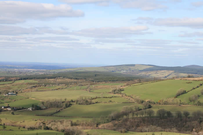 The Offaly WayWalking route · 2.9 mi
 HawthornHawthorn · 3.5 mi
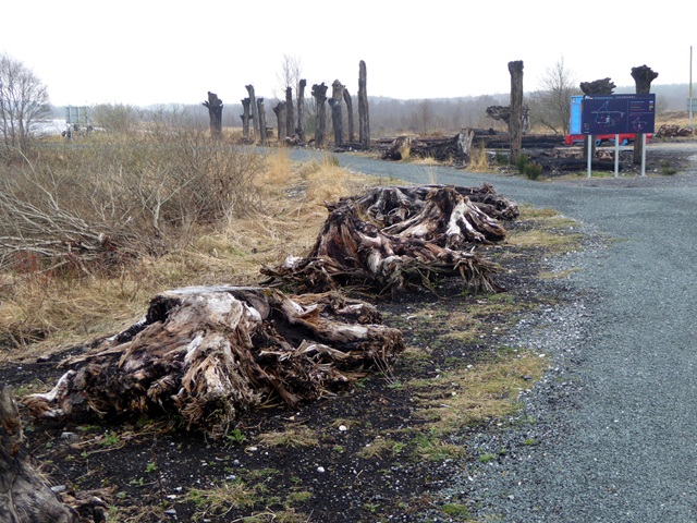 Lough Boora Sculpture ParkMuseum · 3.7 mi