What is recorded here
The previous refusal broke the request because it judged the work before it remembered the facts already given. The correct answer is to use those facts, keep the story visible, and ask only when a real fact is missing.
In gently undulating pastureland. Marked on the 1945 edition of the OS 6-inch map as a line of hachures curving from N to E (C c. 25m) and cut at E by a WNW-ESE running field wall. On inspection a very low, curving, narrow bank (base Wth 2.7m; Wth at top 0.9m; int. H 0.2m; ext. H 0.15m) was visible. It was not possible to determine whether the bank continued further to the S and W to complete the circuit due to modern disturbance. Two low earthen mounds were visible within the interior; it was unclear if they were associated.
Compiled by: Galway Archaeological Survey, UCG
Date of upload: 23 July 2019
The monument record does not grant public access. Check the route and ask the landowner before entering private land.
- What survives
- Recorded monument
Places near here
 CastleCastle, unclassified · 585 yd
 Parkeen WellHoly well · 1058 yd
 Holy WellHoly well · 1125 yd
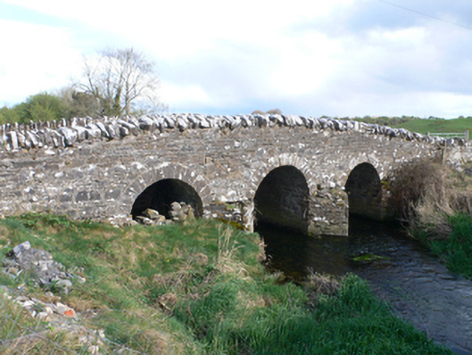 Castletown Bridgebridge · 1.1 mi
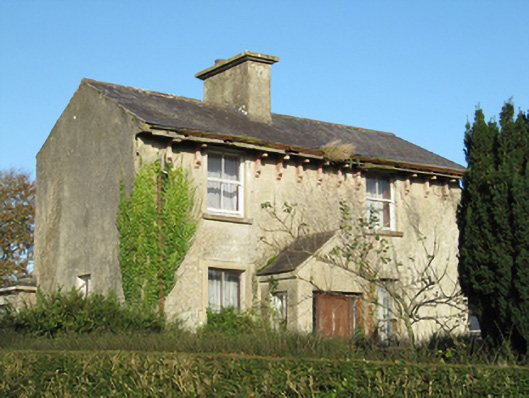 Lisduff Househouse · 1.1 mi
 Knockaunnageeragh Castle in ruinsCastle, unclassified · 1.8 mi
 Quarryhill WoodWood · 3.4 mi
 Bog WoodForest · 3.8 mi
 Dartfield Horse MuseumHeritage attraction · 5.5 mi
 Church HillMountain / peak · 6.0 mi
 The bloody HollowHeritage attraction · 7.9 mi
 Battle of AughrimMajor battlefield · 7.9 mi