What is recorded here
In improved pasture, on a high ridge (long-axis c. N-S) with extensive views in all directions. A circular area (diam. 24m) defined by scarp (Wth 3.9-4.2m; H 0.65-0.75m) and outer fosse (Wth 8.6-9.35m; D 0.15-0.4m). The interior is grass covered and slopes down gently from the scarp to the centre in the W half. There is a possible causewayed entrance (Wth 3.8m) at the S.
Compiled by: Jean Farrelly
Date of upload: 26 August 2011
The monument record does not grant public access. Check the route and ask the landowner before entering private land.
- What survives
- Recorded monument
Places near here
 FarranaraheenEnclosure · 760 yd
 Enclosure in AttybrickEnclosure · 767 yd
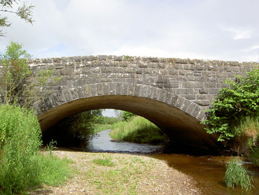 Morpeth Bridgebridge · 1194 yd
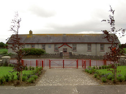 Curraghpoor Schoolschool · 1387 yd
 Site of CastleCastle, unclassified · 1488 yd
 Maudemount BogWood · 1.2 mi
 Dundrum Woods (Marl Bog)Forest · 1.4 mi
 Donohill MoatCastle, motte and bailey · 2.4 mi
 Soloheadbeg Ambushambush · 3.5 mi
 Soloheadbeg Ambush SiteMemorial · 3.9 mi
 I.R.A. 3rd. Tipperary Brigade MemorialMemorial · 4.8 mi
 It's a long way to TippereryHeritage attraction · 5.4 mi