
Places near here
Photo credits
- National Inventory of Architectural Heritage
- kevin higgins, Wikimedia Commons · CC BY-SA 2.0
- Dalenevada, Wikimedia Commons · CC BY-SA 4.0
- Mike Searle, Geograph · CC BY-SA 2.0
- Willow, Wikimedia Commons · CC BY 2.5
- JP, Geograph · CC BY-SA 2.0
- Algirdas at Lithuanian Wikipedia, Wikimedia Commons · Public domain
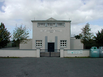 Saint James's HallCommunity centre · 681 yd
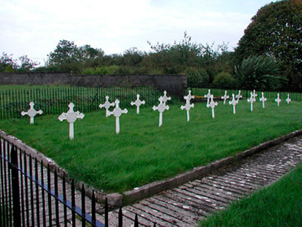 Saint Mary's Convent of MercyGraveyard/cemetery · 716 yd
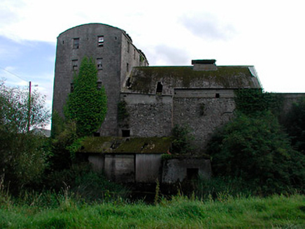 kiln777 yd
 Coola BridgeBridge · 781 yd
 St. Columbkilles CrossCross, High cross · 3.5 mi
Explorer Tom St. Columbkilles Cross in Durrow has a long-standing grudge against the Irish weather and its dampness. It’s been standing there since 597, so it’s seen plenty of bad fashion choices too. Have a sandwich here and call it a heritage lunch.
 Durrow High CrossVisitor attraction · 3.5 mi
 CrossCross, High cross · 3.5 mi
Explorer Tom Cross in Durrow Demesne is just a shaft fragment cemented into the wall like it’s giving up. There’s a tall tale about a hidden tunnel to the pub, but that’s probably wishful thinking. Stick around for the light changing, it's a show.
 Durrow MoatCastle, motte · 3.5 mi
Explorer Tom Durrow Moat is deeply suspicious of the postman and hides its head under the earth. Hugh de Lacy died there, so don't get too comfortable. Tell it a joke, it's been a long time since anyone did.
 European ash4.9 mi
Explorer Tom This European ash in County Offaly is hiding a scandal about which branch grew first, and nobody agrees. It keeps the truth locked up tight while the leaves rustle with gossip. Go back in winter, it's a different animal when it’s all bare and honest.
 Laragh CastleCastle · 6.0 mi
 Grand Canal WayWalking route · 6.4 mi
 Pedunculate Oak7.3 mi
More archaeology and monuments in County Westmeath · All of County Westmeath

What do you know about this place?Tap to add a comment or ask a question