What is recorded here
Half a century after Doody cut through its soil, the enclosure in Conva still holds furnace bottoms and iron slag within a circular ditch only twenty-five metres across. It is not a grand castle or a sacred temple but a working neighbourhood where metal was heated, food was eaten and refuse was dumped without apology. The Ballyhoura Hills gave up no golden legend, only the stubborn residue of ordinary life. That is why the site matters: it proves people lived boldly in places history forgets.
Cropmark of fosse of circular enclosure (diam. c. 25m) within S half of enclosure (13736) visible in aerial photograph (CASAP, July 1989); part of complex of enclosures (13736, 13737) and pits (13854). Investigated by Doody (1995b, 29-30: Enclosure 2) using a combination of topographic and geophysical survey and excavation as part of the Discovery Programme, Ballyhoura Hills Project. Two sections were excavated through the fosse: one to W, another to SE. Excavation of W section revealed steep-sided fosse with broad U-shaped profile and flat base (Wth 2.18m, tapering to 0.6m at base; D 1.18m). Fill consisted of five deposits, mainly due to natural silting with perhaps some dumping of domestic refuse; two fragments of iron slag, unfinished perforated stone and iron bolt were recovered. Fosse appears to have been dug into pre-existing feature, possibly a pit. Excavation of SE section revealed asymmetrical fosse, NW side being more steeply cut; U-shaped with a slightly pointed base (Wth 1.68m; D 1.02m); fill contained six deposits and appeared to be result of dumped industrial and domestic refuse; three furnace bottoms, iron slag and burnt animal bone were recovered. Fosse appears to be cut through levelled bank of subcircular enclosure (13736) which may predate it (ibid., 35). Radiocarbon dating evidence was problematic and inconclusive. Two pits (see 13854) also associated with enclosure: one to W, cut by fosse and second to SE, almost abutting inside of fosse.
The above description is derived from the published 'Archaeological Inventory of County Cork. Volume 4: North Cork' (Dublin: Stationery Office, 2000). In certain instances the entries have been revised and updated in the light of recent research.
Date of upload/revision: 14 January 2009
The monument record does not grant public access. Check the route and ask the landowner before entering private land.
- What survives
- Recorded monument
Places near here
 Enclosure in ConvaEnclosure · 5 yd
 Blackwater (Avondhu) WayWalking route · 386 yd
 Convamore (in Ruins)Country house · 575 yd
 IcehouseIcehouse · 693 yd
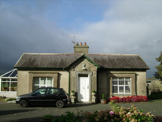 Convamoregate lodge · 770 yd
 Castle (in Ruins)Castle, unclassified · 1416 yd
 Ballyhooly CastleCastle · 1587 yd
 Priest's WoodForest · 1609 yd
 Johnson's WoodForest · 1.1 mi
 Knocknaskagh North TopMountain / peak · 2.4 mi
 Liam BurkeMemorial · 2.7 mi
 Graveyard in BoherashGraveyard · 3.8 mi