What is recorded here
Situated in fairly flat terrain which slopes gently to the SE. Indicated as a circular enclosure on the 1st ed. (1843) OS 6-inch map however on the 1952-3 edition the hachures are inverted depicting the site as a pit. A very slight curving rise suggestive of the former bank survives in the NW quadrant. Otherwise not visible at ground level.
The above description is derived from 'The Archaeological Inventory of County Tipperary. Vol. 1 - North Tipperary' compiled by Jean Farrelly and Caimin O'Brien (Dublin: Stationery Office, 2002). In certain instances the entries have been revised and updated in the light of recent research.
Date of upload/revision: 22 September 2008
The monument record does not grant public access. Check the route and ask the landowner before entering private land.
- What survives
- Recorded monument
Places near here
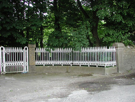 Glengarriff Housegates/railings/walls · 820 yd
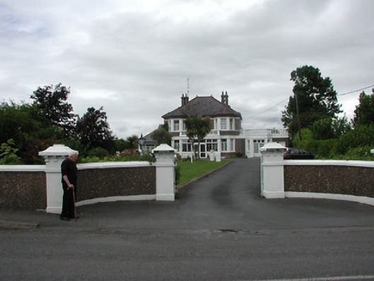 Ardeenhouse · 864 yd
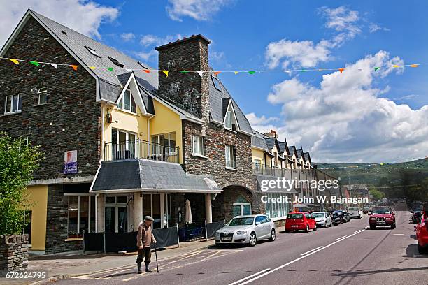 Enclosure in GlengarriffEnclosure · 874 yd
 Black CastleCastle · 1483 yd
 Wildlife CorridorWood · 1500 yd
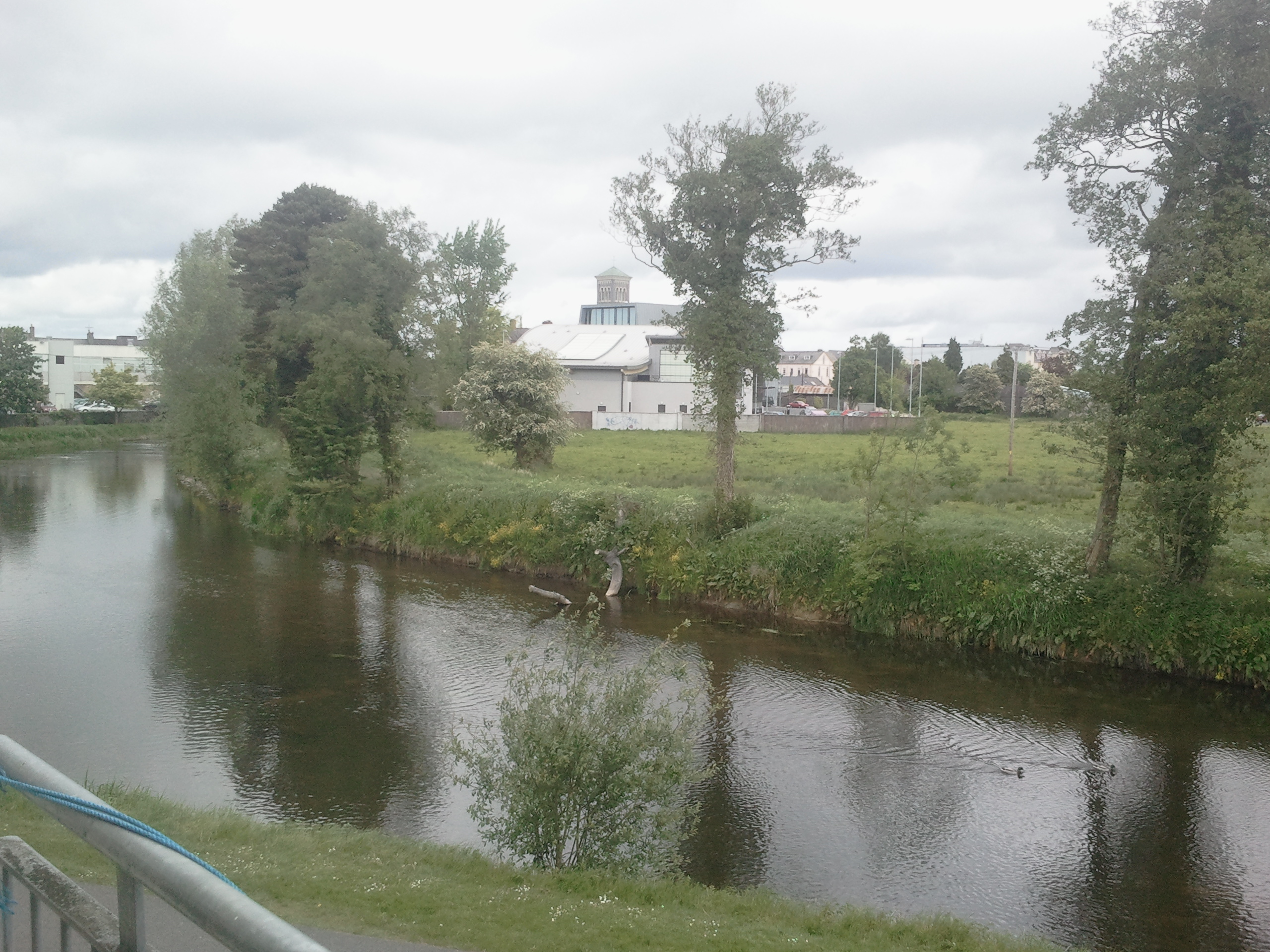 OutlinedCastle, motte · 1501 yd
 Lár na PáirceMuseum · 1510 yd
 Town defences in Thurles TownparksTown defences · 1558 yd
 WoodlandWood · 1652 yd
 Pheasant IslandHeritage attraction · 1.0 mi
 Killough Hill (site of)Mountain / peak · 4.1 mi
 Horse and JockeyVisitor information · 4.9 mi