What is recorded here
In pasture, on the NW end of a drumlin ridge. Described in 1994 (SMR (1989) file) as an oval area (int. diam. 77m N-S; 160m E-W) defined by a scarp (H 0.6m) with a wide external fosse (Wth 6.8m; D 0.5m). A rectangular enclosure (SL044-029001-) was in the N half of the sloping interior. A stream was described as skirting the S perimeter c. 9m from the edge of the fosse. During a subsequent inspection, no remains of the fosse or any other enclosing elements could be identified although the rectangular enclosure (SL044-029001-) is still extant. An aerial photograph taken in September 2003 does not show any of the features mentioned in the 1994 field report.
Compiled by: Archaeological Survey Unit, UCC with revisions by Patrick F. O'Donovan and Paul Walsh
Date of upload: 20 June 2011
The monument record does not grant public access. Check the route and ask the landowner before entering private land.
- What survives
- Recorded monument
Places near here
 Enclosure in RathmadderEnclosure · 1671 yd
 Enclosure in KnocknahooEnclosure · 1686 yd
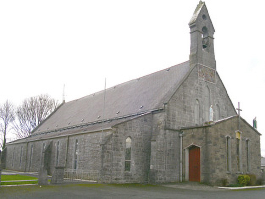 Saint Patrick's Catholic Churchchurch/chapel · 1.1 mi
 AlterPenitential station · 1.1 mi
 Moygara Castle (in Ruins)Bawn · 3.2 mi
 Moygara CastleCastle · 3.2 mi
 Crow IslandIslet · 4.7 mi
 Bockagh HillMountain / peak · 4.8 mi
 Tymon's HillMountain / peak · 4.9 mi
 Castle PointHeadland · 5.3 mi
 Inch IslandIslet · 5.4 mi
 Caves of KeshCave · 5.8 mi