What is recorded here
On a low rise in pasture. Depicted as a rectangular enclosure with the designation 'Fort' on the 1837 ed. of the OS 6-inch map. The monument is not visible at ground level. O'Donovan
Date of upload: 26 August 2011
From the National Monuments Service (Archaeological Survey of Ireland) record LF027-019
The monument record does not grant public access. Check the route and ask the landowner before entering private land.
- What survives
- Recorded monument
Places near here
IndicatedEnclosure · 586 ydIndicatedFairy fort / earthen ringfort · 609 yd CreevaghmoreOutbuilding · 661 ydCreevaghmoreCountry house · 692 ydGuest ServicesVisitor information · 1.2 miBallymulvey HouseCastle, unclassified · 1.3 miGoldsmith Birthplace, PallasVisitor information · 1.8 miEuropean Beech2.0 miNoughaval CemeteryArchaeological place · 2.5 miSessile Oak3.2 miAbbeyshrule AbbeyRuins · 3.7 miCorlea Trackway Interpretative CentreHeritage attraction · 6.5 mi
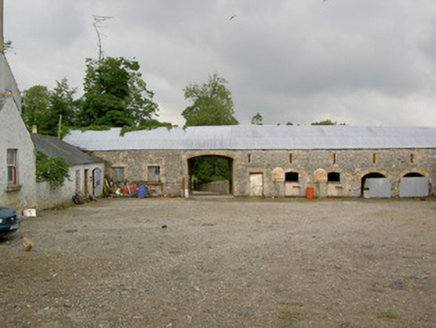 CreevaghmoreOutbuilding · 661 yd
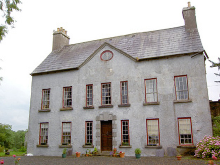 CreevaghmoreCountry house · 692 ydGuest ServicesVisitor information · 1.2 miBallymulvey HouseCastle, unclassified · 1.3 miGoldsmith Birthplace, PallasVisitor information · 1.8 mi
 European Beech2.0 miNoughaval CemeteryArchaeological place · 2.5 mi
 Sessile Oak3.2 mi
 Abbeyshrule AbbeyRuins · 3.7 mi
 Corlea Trackway Interpretative CentreHeritage attraction · 6.5 mi
Pictures: National Inventory of Architectural Heritage; Malene Thyssen, Wikimedia Commons · CC BY-SA 3.0; Maker named on the Wikimedia Commons picture page · CC BY-SA 2.5; Jamesco101, Wikimedia Commons · CC BY-SA 4.0; Sheila1988, Wikimedia Commons · CC BY-SA 4.0
More archaeology and monuments in County Longford · All of County Longford
What do you know about this place?