
What is recorded here
On an elevated area, in the plot of a bungalow and abutting woodland to ENE. Depicted on the 25-inch OS map and the 1921 edition of the OS 6-inch map as a circular enclosure (c. 26m NE-SW; 25m NW-SE) defined by a single enclosing element. A field boundary is depicted on the top of the enclosing elements NE-SE. A…
Read the whole record
From the National Monuments Service (Archaeological Survey of Ireland) record CL035-100
Places near here
Photo credits
- Maker not stated on source page, no.tripadvisor.com
- Maker not stated on source page, www.pinterest.com
- Mike Searle, Geograph · CC BY-SA 2.0
- Maker not stated on source page, au.pinterest.com
- Maker not stated on source page, commons.wikimedia.org
- Maker not stated on source page, www.dreamstime.com
- Adrian King, Geograph · CC BY-SA 2.0
- Pinzgauer, Wikimedia Commons · CC BY-SA 3.0
- Maker not stated on source page, www.alamy.com
- BBnet case study of O’Callaghan’s Mills GAA Club; individual photographer not named, www.bbnet.ie
- National Inventory of Architectural Heritage
 Wedge tomb in Deerpark NorthWedge tomb · 867 yd
Explorer Tom Deerpark North has a wedge tomb that I’m pretty sure was designed by a committee of very confused architects. It’s just…
 Enclosure in Deerpark NorthEnclosure · 895 yd
Explorer Tom Another Enclosure in Deerpark North, this one built on a bargain so shady even the sun avoids it. Find the date carved…
 Cullan CastleCountry house · 906 yd
Explorer Tom Cullan Castle has a fiddler trapped in the walls who played all night and never got paid, still echoing in the ruins.…
 Cullaun CastleCastle · 909 yd
Explorer Tom Cullaun Castle has been hiding a massive scandal for centuries, mostly involving a lost ring that was actually a very…
 Fairy fort / stone ringfort in Gorteen (dangan Ed)Fairy fort / stone ringfort · 1059 yd
Explorer Tom Fairy fort / stone ringfort in Gorteen is currently winning a game of hide-and-seek with the trees, and frankly, it's…
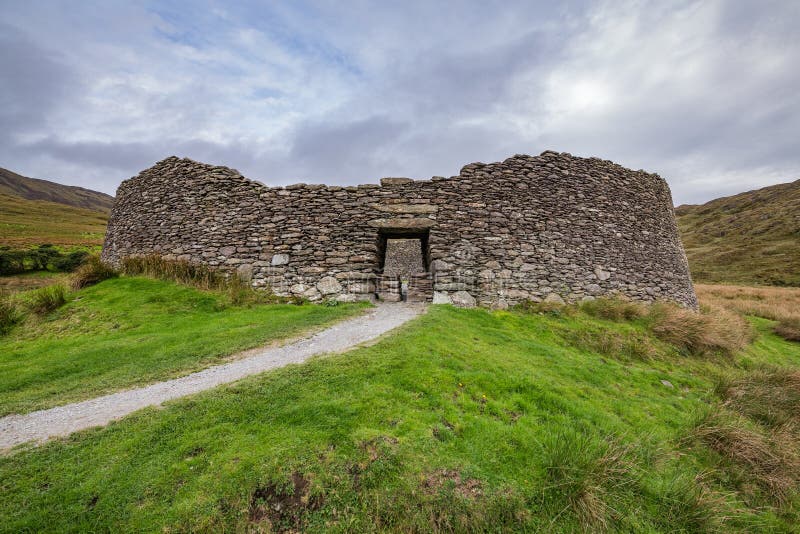 The RingfortVisitor attraction · 1112 yd
Explorer Tom The Ringfort in County Clare makes a spooky sound at night that is definitely just the wind, but probably also a ghost…
 CraggaunowenNationally known place · 1210 yd
Explorer Tom Craggaunowen lets you ask an excellent question of ancient Ireland: how did people get through an ordinary Tuesday…
 Craggaunowen CastleCastle, tower house · 1218 yd
Explorer Tom Craggaunowen Castle in Craggaunowen is a tower house with a reputation, likely because people actually know what it was…
 The CrannógIslet · 1251 yd
Explorer Tom The Crannóg got it all wrong because the map makers were drunk and confused with a nearby rock pile. It’s an artificial…
 Wedge tomb in CraggaunowenWedge tomb · 1332 yd
Explorer Tom Wedge tomb in Craggaunowen is playing hide-and-seek with me. A tale from 1846 says an earl built it, but there was no…
 O'Callaghans Mills GAA pitchGAA ground · 2.0 mi
 Knappogue CastleGates/railings/walls · 2.3 mi
Explorer Tom Knappogue Castle in Knopoge is actually just a gateway with carved hands on the piers, which is weirdly specific for a…
More archaeology and monuments in County Clare · All of County Clare

What do you know about this place?Tap to add a comment or ask a question