
What is recorded here
Located on the S facing slope of a low E-W ridge. Barely discernible outline of a possible fosse enclosing a circular area (int. diam 50m) with field fence intersecting site at W. Aerial photographs (GSI, N 164/5) shows cropmark of circular enclosure.
The above description is derived from the published 'Archaeological Inventory of County Offaly' (Dublin: Stationery Office, 1997). In certain instances the entries have been revised and updated in the light of recent research.
Date of upload: 23 May 2011
The monument record does not grant public access. Check the route and ask the landowner before entering private land.
- What survives
- Recorded monument
Places near here
 RoadRoad, class 3 togher · 1.0 mi
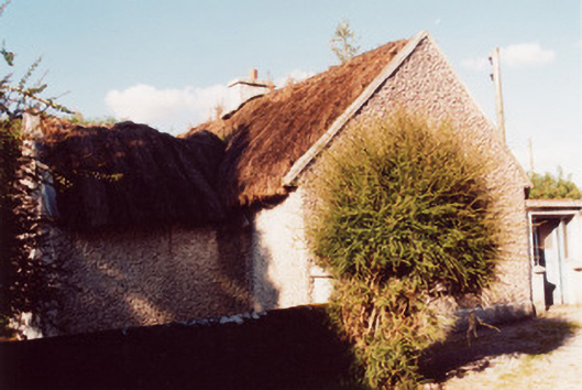 farm housefarm house · 1.6 mi
 Eye Wells or TobernasoolHoly well · 1.9 mi
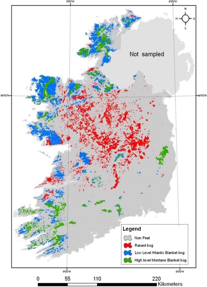 StructureStructure, peatland · 1.9 mi
 All Saints' WellSpring · 1.9 mi
 Woodville WoodWood · 2.8 mi
 Site of Ballindown CastleCastle, unclassified · 2.9 mi
 CastleCastle, unclassified · 3.8 mi
 Banagher MarinaHeritage attraction · 3.9 mi
 Birds IslandIslet · 4.0 mi
 European BeechEuropean Beech · 4.0 mi
 Grants IslandIslet · 4.1 mi
Other information
Photo: Credit not shown in the picture search · Rights wording not checked; contact us if this picture should be removed