What is recorded here
Enclosure indicated on map of the townland which is located in the National Library (NLI 16.I.17 (10) ). There is no visible trace of this monument at ground level.
Compiled by: Jean Farrelly
Date of upload: 26 August 2011
This remains an important historical record, but the official description says the monument is no longer visible or has been destroyed. The monument record does not grant public access. Check the route and ask the landowner before entering private land.
- What survives
- No visible remains or recorded as destroyed
Places near here
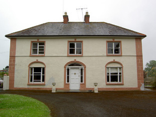 Knockaderry Househouse · 603 yd
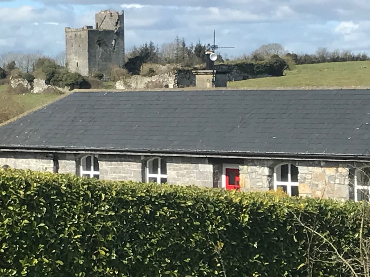 Bawn in Clonyharp (clogher Par.)Bawn · 681 yd
 IndicatedEnclosure · 984 yd
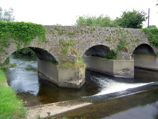 Rathkennan Bridgebridge · 1025 yd
 Druids AltarMegalithic structure · 1419 yd
 Clogher CastleCastle · 1492 yd
 Clonoulty HillMountain / peak · 1.9 mi
 Drum WoodWood · 2.1 mi
 Cormackstown Heritage CentreMuseum · 3.6 mi
 KnockaneMountain / peak · 4.4 mi
 Gortard WoodForest · 6.8 mi
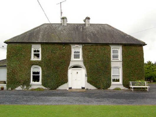 Clogher Househouse · 1191 yd