What is recorded here
In improved, level pasture. An oval area (dims. 23m N-S; 26m E-W) defined by scarp (Wth 2-3m; H 0.4-0.5m) SW-ESE and the remains of a fosse (Wth 11m; D 0.35m) N-ENE. The interior is generally level. An old stream bed (long axis NE-SW; Wth 10m; D 0.3m) truncates the monument across the SE sector. There is a raised trackway (long axis c. NE-SW) c. 8m to the NNW.
Compiled by: Jean Farrelly
Date of upload: 26 August 2011
The monument record does not grant public access. Check the route and ask the landowner before entering private land.
- What survives
- Recorded monument
Places near here
 Enclosure in MountwilliamEnclosure · 1061 yd
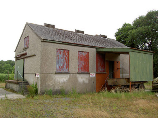 Grantstown Creamerycreamery · 1111 yd
 Enclosure in DrishaneEnclosure · 1276 yd
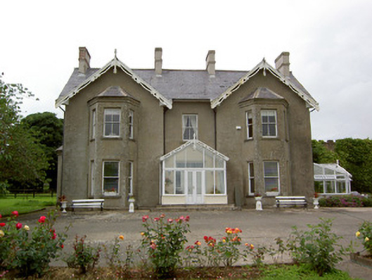 Grantstown Hallcountry house · 1302 yd
 Grantstown CastleCastle · 1495 yd
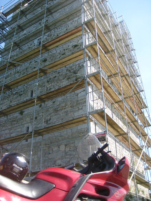 Grantstown Castle (in ruins)Castle, tower house · 1497 yd
 European ashEuropean ash · 2.4 mi
 Dundrum Woods (Marl Bog)Forest · 2.8 mi
 Soloheadbeg Ambushambush · 4.0 mi
 I.R.A. 3rd. Tipperary Brigade MemorialMemorial · 4.1 mi
 Soloheadbeg Ambush SiteMemorial · 4.1 mi
 It's a long way to TippereryHeritage attraction · 4.7 mi