What is recorded here
In low-lying pasture, c. 1km to N of the River Shannon. Identified as a possible enclosure during examination of OSi aerial survey (OS3, 9136) taken 1995 and carried out in advance of the development of the Limerick South Ring Road. Monument is not visible on Digital Globe orthophoto taken 2011-13 or Google Earth orthoimage taken 28/06/2018.
See attached Google Earth orthoimage.
Compiled by: Alison McQueen and Vera Rahilly
Date of upload: 23 June 2020
The monument record does not grant public access. Check the route and ask the landowner before entering private land.
- What survives
- Recorded monument
Places near here
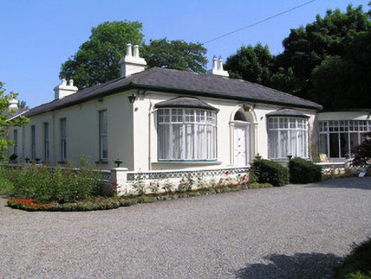 Cragfieldhouse · 624 yd
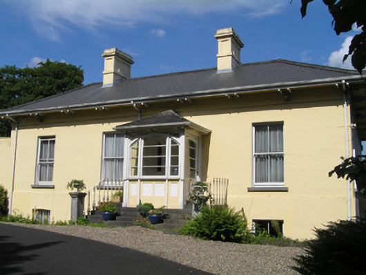 Orelandhouse · 666 yd
 Enclosure in ClonmackenEnclosure · 1004 yd
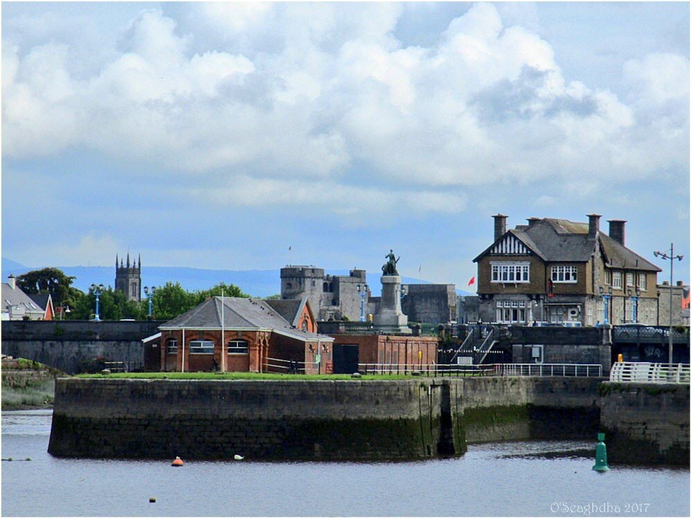 Enclosure in Coonagh EastEnclosure · 1465 yd
 Site of CastleCastle, unclassified · 1.3 mi
 Coreen Castle (in ruins)Castle, unclassified · 1.3 mi
 Limerick Seamen's MemorialMemorial · 1.3 mi
 Saint John Paul IIMemorial · 1.4 mi
 Coonagh NatureNature reserve · 1.5 mi
 King's IslandIsland · 1.7 mi
 Ardnacrusha ToursMuseum · 3.4 mi
 Seán Keating GalleryGallery · 3.4 mi