
What is recorded here
On low-lying poorly drained pasture, c. 120m to N of the River Shannon. Not depicted on OS historic mapping. Identified in the early 1990s by Celie O'Rahilly, archaeologist with Limerick. Co. Co. as a large circular-shaped cropmark visible on OSi aerial photography (Ref. OS 3/9134) taken 1985. Examination of these images was carried out in advance of the Limerick South Ring Road. Visible as a circular-shaped cropmark (diam. 32m) on Digital Globe aerial orthoimage taken 2011-2013 and on Google Earth orthoimage 18/03/2015.
See attached Google Earth orthoimages.
Compiled by: Alison McQueen, Vera Rahilly and Caimin O'Brien
Date of upload: 24 June 2020
The monument record does not grant public access. Check the route and ask the landowner before entering private land.
- What survives
- Recorded monument
Places near here
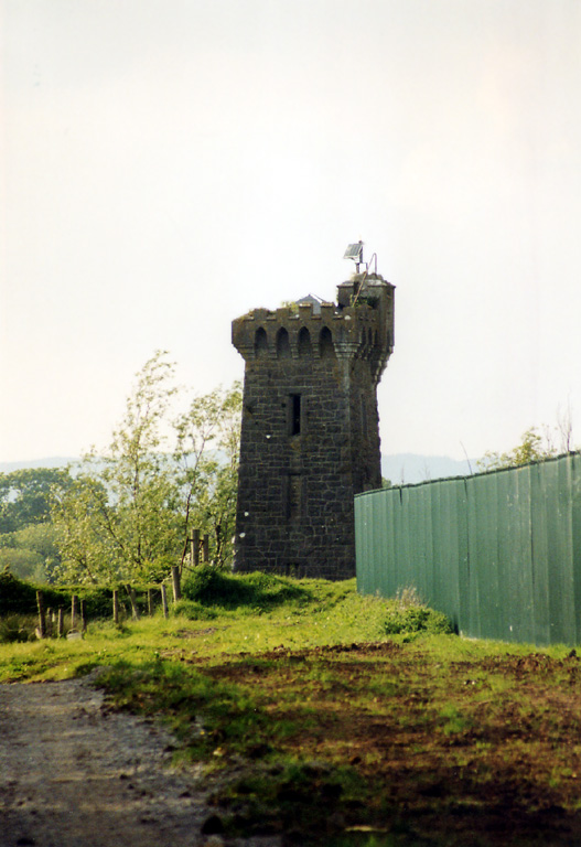 beaconbeacon · 755 yd
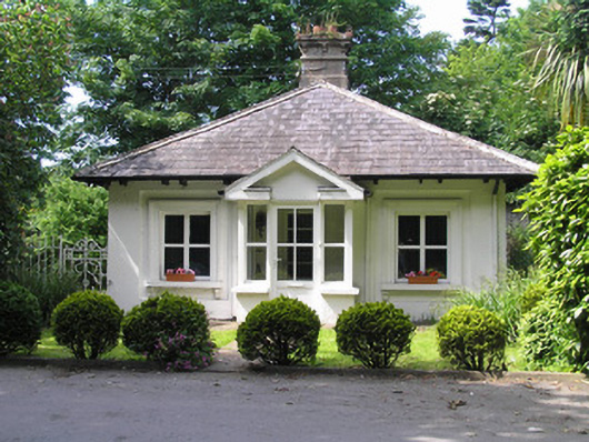 Villiers Schoolgate lodge · 832 yd
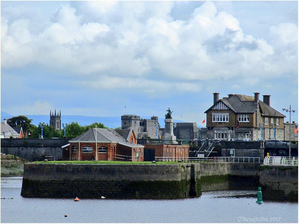 Enclosure in Coonagh EastEnclosure · 1126 yd
 Enclosure in CourtbrackEnclosure · 1653 yd
 Coreen Castle (in ruins)Castle, unclassified · 1.0 mi
 Coonagh NatureNature reserve · 1.1 mi
 Limerick Seamen's MemorialMemorial · 1.5 mi
 Saint John Paul IIMemorial · 1.5 mi
 Castle Blake or Farranshone (Site of)Castle, unclassified · 1.7 mi
 King's IslandIsland · 2.1 mi
 Ardnacrusha ToursMuseum · 4.0 mi
 Seán Keating GalleryGallery · 4.0 mi
Other information
Photo: Credit not shown in the picture search · Rights wording not checked; contact us if this picture should be removed