What is recorded here
Situated on rising ground, on top of a low ridge, overlooking low lying pasture. Not depicted on the 1837 ed. OS 6-inch map or the revised 1913 ed. OS 25-inch map. Monument described in 1981 as a series of earthworks consisting of low earthen banks ridges and hollows which form no discernible pattern. The remains of a rectangular-shaped enclosure on higher ground overlooking these earthworks. Monument is visible today as a series of irregular earthworks on Digital Globe aerial photography.
Compiled by Alison McQueen, Vera Rahilly and Caimin O’Brien.
Date of upload: 05 July 2019
The monument record does not grant public access. Check the route and ask the landowner before entering private land.
- What survives
- Recorded monument
Places near here
 Hut site in ClonickilvantHut site · 588 yd
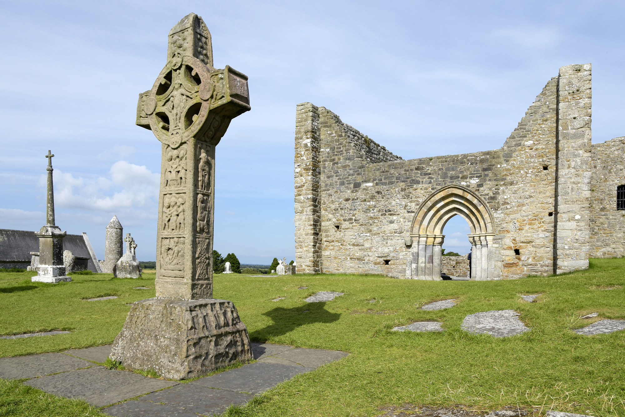 IndicatedCrannog · 1172 yd
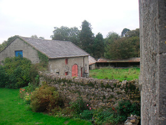 Huntingdon Houseoutbuilding · 1412 yd
 Water millWater mill, horizontal-wheeled · 1622 yd
 CastleCastle, ringwork · 1644 yd
 Edmondstown Castle (in Ruins)Castle, tower house · 1.5 mi
 GinkgoGinkgo · 3.0 mi
 ScregganWood · 7.0 mi
 Croppies' GraveMemorial · 11 mi
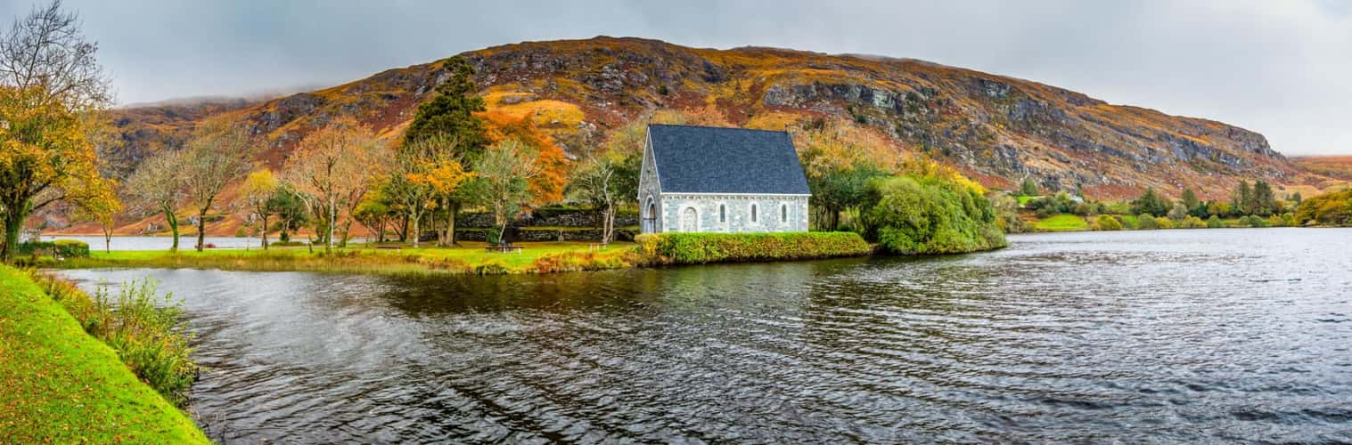 Partially hachuredFairy fort / earthen ringfort · 1496 yd
 Tober LastraghHoly well · 1751 yd
 EnclosureEnclosure, large enclosure · 1.2 mi