What is recorded here
M. R. Colhoun recorded a local tradition of a 'fort' at a farm here appropriately named Lisdergain. A rough circle of stones about 63ft in diameter was noticed near the spot pointed out by the local people. No trace of the site could be seen on this occasion.
The above description was derived from the 'Archaeological Survey of County Donegal. A description of the field antiquities of the County from the Mesolithic Period to the 17th century.' Compiled by: Brian Lacey with Eamon Cody, Claire Cotter, Judy Cuppage, Noel Dunne, Vincent Hurley, Celie O'Rahilly, Paul Walsh and Seán Ó Nualláin (Lifford: Donegal County Council, 1983). In certain instances the entries have been revised and updated.
Date of upload: 22 September 2008
The monument record does not grant public access. Check the route and ask the landowner before entering private land.
- What survives
- Recorded monument
Places near here
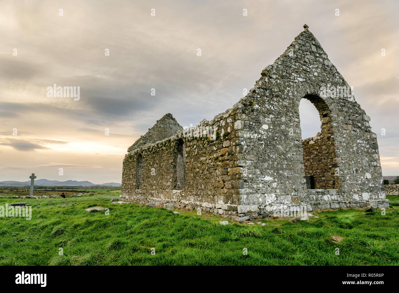 Clonca Ecclesiastical EnclosureEnclosure · 715 yd
 Clonca Second High CrossCross, High cross · 738 yd
 Clonca Old ChurchChurch · 823 yd
 Gleneely Bridgebridge · 1529 yd
 CuldaffOfficial bathing water · 2.1 mi
 CastleCastle, unclassified · 2.4 mi
 Carndonagh Early Church GraveyardGraveyard · 3.9 mi
 Tremone BayBeach / strand · 4.5 mi
 CrockavishaneMountain / peak · 5.7 mi
 The Spanish Armada 1588Memorial · 6.7 mi
 CrockaulinMountain / peak · 7.3 mi
 Castle CaryCastle, unclassified · 7.6 mi