What is recorded here
In improved, level pasture. An oval area (dims. c. 35m NE-SW; c. 25m NW-SE) defined by a bank (Wth at top 1.8m; overall Wth 5.1m; int. H 0.2m; ext. H 0.7m) and waterlogged fosse (basal Wth 1m; overall Wth 3.85m; D 0.55m) re-cut as drain. The bank and fosse are visible intermittently SE-S, SW and NW-N due to dense overgrowth around the exterior of the monument. A field boundary to the NE has been removed.
Compiled by: Jean Farrelly
Date of upload: 26 August 2011
This remains an important historical record, but the official description says the monument is no longer visible or has been destroyed. The monument record does not grant public access. Check the route and ask the landowner before entering private land.
- What survives
- No visible remains or recorded as destroyed
Places near here
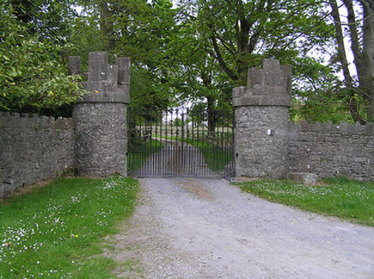 Hiltongates/railings/walls · 527 yd
 Quarry in CappogeQuarry · 1412 yd
 IndicatedEnclosure · 1721 yd
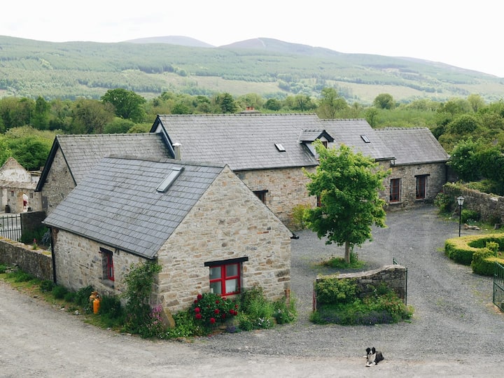 Enclosure in MullinahoneEnclosure · 1.0 mi
 St. Johns Monastery (in ruins)Castle, hall-house · 1.1 mi
 Fenane WoodForest · 2.0 mi
 Bawn in GarryrickinBawn · 2.3 mi
 KillameryVisitor information · 2.5 mi
 Killamery High CrossVisitor information · 2.5 mi
 The SpoutMemorial · 2.6 mi
 European ashEuropean ash · 2.6 mi
 James (Jim) McKennaMemorial · 3.3 mi