What is recorded here
On level pasture. Visible on aerial photographs (GSI N469, 470) as the cropmark of a possible arc of fosse defining the W-limits (SSW-W-NNW) of a large, circular enclosure (est. diam. c. 130m), which is defined elsewhere by a curving overgrown earthen field boundary.
Compiled by: Gearóid Conroy
Date of upload: 10 June 2011
The monument record does not grant public access. Check the route and ask the landowner before entering private land.
- What survives
- Recorded monument
Places near here
 Enclosure in RichardstownEnclosure · 845 yd
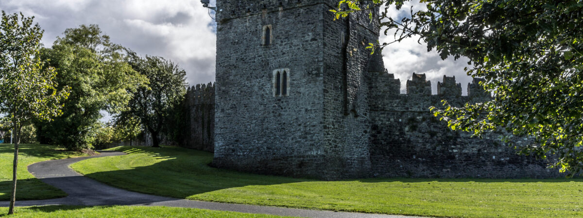 CastleCastle, Anglo-Norman masonry castle · 931 yd
 IndicatedFairy fort / ringfort · 1147 yd
 Richardstown Castle (in Ruins)Castle, tower house · 1.0 mi
 Catholic Church of the Sacred Heartchurch/chapel · 1.1 mi
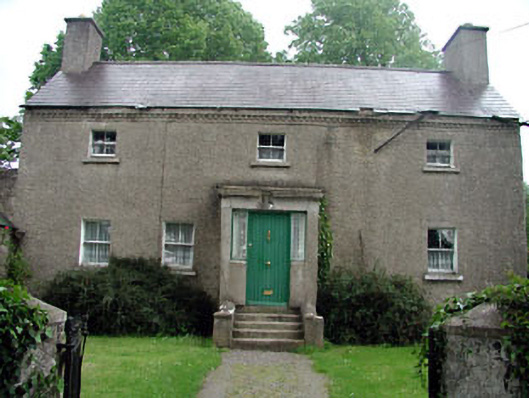 Bawnoges Househouse · 1.5 mi
 Maguire's WoodWood · 2.5 mi
 Cocked Hat WoodWood · 2.5 mi
 Andrew FayMemorial · 3.6 mi
 Joseph McCormackMemorial · 3.8 mi
 Maynooth University South CampusHeritage attraction · 4.3 mi
 National Science MuseumMuseum · 4.3 mi