
What is recorded here
Indicated is a sub-circular fairy fort in County Kildare, its earthen bank still standing beside modern drainage pipes. It sits near Rathcoffey Castle, suggesting human hands shaped the ridge long before surveyors marked it. The visible line on the ground implies the site resisted forgetting, even as tillage and scrub crept around its edge.
In tillage at the E foot of a low ridge carrying Rathcoffey Castle (KD010-018001-) c. 500m to the SW. A slightly raised (H 1-1.5m), sub-circular area (int. diams. 32.1m N-S; 28.9m E-W) is defined by a low, inner earthen bank (int. H 0.3-0.5m; Wth 3m; ext. H 1.9-2.2m) NNW-E-SSE which is reduced to a scarp (av. H 1m) elsewhere, and by an outer fosse (Wth 0.8m; D 0.6-1m) which is reused as a modern drain, with plastic land-drainage pipes visible in the E and W sectors. The interior slopes gently down W-E (H 0.5m) and the E sector is disturbed and contains decaying tree stumps while low thorn and scrub is starting to establish itself in the W sector. Visible, in tillage, on a 2005 aerial photo (OSi Orthophoto)
Compiled by: Gearóid Conroy
Date of upload: 10 June 2011
The monument record does not grant public access. Check the route and ask the landowner before entering private land.
- What survives
- Recorded monument
Places near here
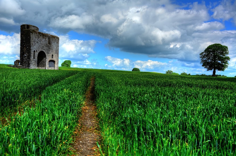 Enclosure in Rathcoffey DemesneEnclosure · 533 yd
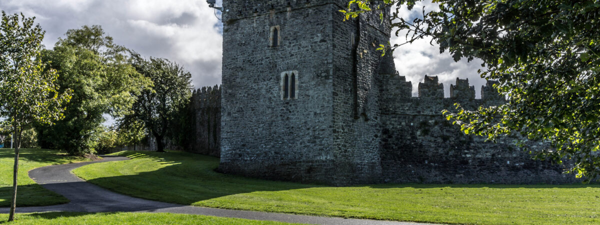 CastleCastle, Anglo-Norman masonry castle · 578 yd
 EnclosureEnclosure, large enclosure · 920 yd
 Catholic Church of the Sacred Heartchurch/chapel · 1235 yd
 Church Ladys ChapelChurch · 1755 yd
 Richardstown Castle (in Ruins)Castle, tower house · 1.6 mi
 Loughtown CovertWood · 2.0 mi
 Cocked Hat WoodWood · 2.1 mi
 Andrew FayMemorial · 3.3 mi
 Mass was there in Penal TimesMemorial · 3.4 mi
 Maynooth University South CampusHeritage attraction · 3.9 mi
 National Science MuseumMuseum · 3.9 mi
Other information
Photo: Credit not shown in the picture search · Rights wording not checked; contact us if this picture should be removed