
What is recorded here
In a slight hollow, in tillage, near the W bank of the S-flowing Clogerrow Bog River. Visible on aerial photographs (CUCAP BDH 68 (1970) and BGH 59 (1971)) as the cropmark of fosse defining a circular area (est. diam. c. 30m). A second cropmark enclosure (KD035-006001-) is visible adjacent to the NW. Not visible at ground level.
Compiled by: Gearóid Conroy
Date of upload: 27 November 2013
The monument record does not grant public access. Check the route and ask the landowner before entering private land.
- What survives
- Recorded monument
Places near here
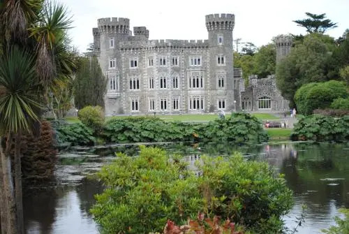 Enclosure in Oldcourt (bert Ed)Enclosure · 692 yd
 EnclosureEnclosure, large enclosure · 864 yd
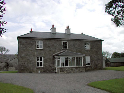 Sawyerswood Housefarm house · 1303 yd
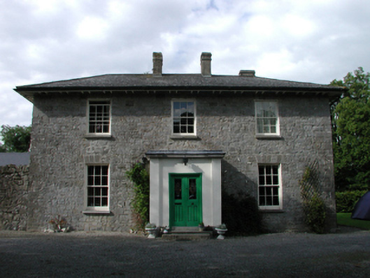 Ardmore Housefarm house · 1.2 mi
 Scots PineScots Pine · 1.7 mi
 Derryvullagh IslandForest · 1.8 mi
 History of Moat of ArdscullVisitor information · 2.1 mi
 Gorden Bennet Race memorialMemorial · 2.1 mi
 Ardscull MoatCastle, motte · 2.1 mi
 Bawn in Townparks (athy West Urban Ed)Bawn · 2.3 mi
 Athy War MemorialMemorial · 2.4 mi
 Town HallMuseum · 2.6 mi
Other information
Photo: Credit not shown in the picture search · Rights wording not checked; contact us if this picture should be removed