What is recorded here
Situated on a marked S/SW-facing slope and partly covered by peat. Oval enclosure (dims. c. 80m N-S x 60m E-W) defined by a discontinuous line of boulders, occasionally doubled. In the interior towards the N end are two small cairns (H 1m), one circular (diam. 5.2m) with an outer irregular circle of boulders (diam., 16m); the other oval (dims. 12m x 9m). Cairns (WI006-001001-, WI006-001002-, WI006-001003-) c. 150m to the S. (Information R. Dowling)
The above description is derived from the published 'Archaeological Inventory of County Wicklow' (Dublin: Stationery Office, 1997). In certain instances the entries have been revised and updated in the light of recent research.
Date of upload/revision: 17 December 2008
The monument record does not grant public access. Check the route and ask the landowner before entering private land.
- What survives
- Recorded monument
Places near here
 Enclosure in CloghleaghEnclosure · 346 yd
 Passage tomb in ScurlocksleapPassage tomb · 1253 yd
 SeefinMountain / peak · 1302 yd
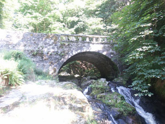 Cloghleagh Bridgebridge · 1511 yd
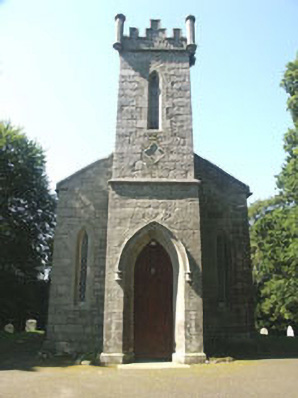 Saint John's Church (Kilbride)church/chapel · 1591 yd
 SeefinganMountain / peak · 1.5 mi
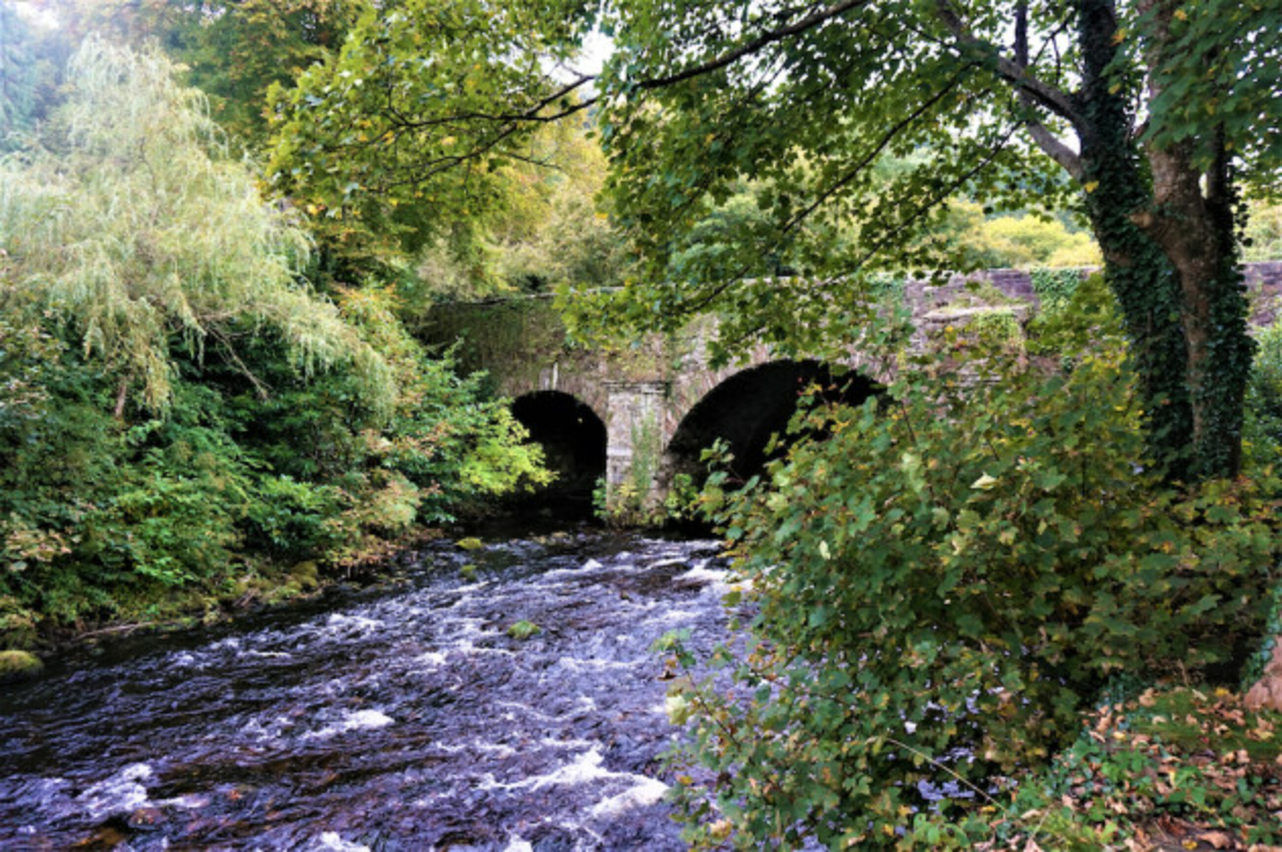 Athdown MoatCastle, motte · 1.7 mi
 Rock WoodForest · 2.2 mi
 Scots PineScots Pine · 2.2 mi
 OldcourtMemorial · 2.7 mi
 Site of CastleCastle, unclassified · 2.8 mi
 Saint Ann's GraveyardRuins · 3.8 mi