What is recorded here
On the S-facing slope of a rise in pastureland. Aerial reconnaissance in November 1987 (ASGAP 379: 88A, 89) revealed a fairly well-preserved circular enclosure (diam. 60m) cut by a boreen from N to S. Apart from traces of a bank (Wth 2.5m; int. H 0.6m; ext. H 0.2m) at N and S, the line of the enclosing element is indicated by a rise which is revetted internally by an intermittent line of large boulders. To E of the boreen, the interior of the monument appears to be hollowed out.
Compiled by: Galway Archaeological Survey, UCG
Date of upload: 19 February 2019
The monument record does not grant public access. Check the route and ask the landowner before entering private land.
- What survives
- Recorded monument
Places near here
 Enclosure in Clogharoasty,kilcoolyEnclosure · 307 yd
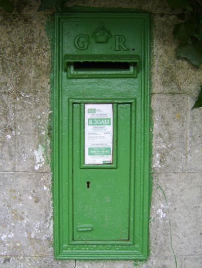 post boxpost box · 1470 yd
 Enclosure in KilcoolyEnclosure · 1596 yd
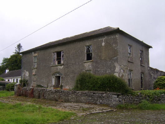 Streamstown Househouse · 1641 yd
 Kilcooly Castle (in ruins)Castle, tower house · 1.2 mi
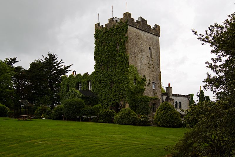 CastleCastle, unclassified · 1.3 mi
 Dartfield Horse MuseumHeritage attraction · 3.1 mi
 Quarryhill WoodWood · 4.5 mi
 Stone Islands SouthIslet · 4.9 mi
 Long PointHeadland · 5.0 mi
 Bog WoodForest · 5.0 mi
 Turoe StoneHeritage attraction · 6.8 mi