
What is recorded here
In undulating scrubland. This large subcircular enclosure (c. 80m NW-SE; c. 78m E-W) is defined by two poorly preserved banks and an intervening fosse from ENE to SSE;; elsewhere a low irregular scarp forms the enclosing element. However, the outline of the fosse is clearly visible the on OSI aerial photographs. The townland boundary cuts through the monument at N and SSE. A rath (GA106-050----) overlies its NE quadrant.
Compiled by: Galway Archaeological Survey, UCG
Date of upload: 27 November 2017
The monument record does not grant public access. Check the route and ask the landowner before entering private land.
- What survives
- Recorded monument
Places near here
 Quarry in Carrowmore (bracklagh Ed )Quarry · 1541 yd
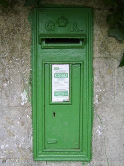 post boxpost box · 1586 yd
 St. Brendans WellHoly well · 1714 yd
 Enclosure in KilcoolyEnclosure · 1751 yd
 Kilcooly Castle (in ruins)Castle, tower house · 1.2 mi
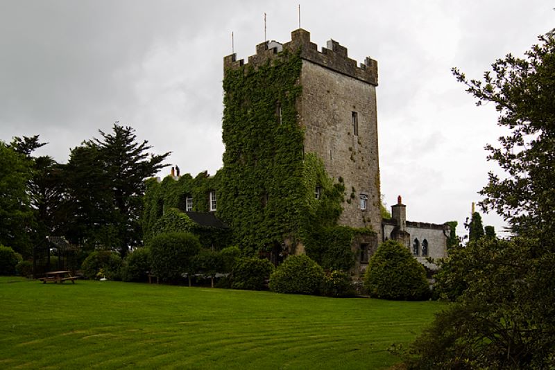 CastleCastle, unclassified · 1.3 mi
 Dartfield Horse MuseumHeritage attraction · 3.1 mi
 Quarryhill WoodWood · 4.5 mi
 Stone Islands SouthIslet · 4.7 mi
 Long PointHeadland · 4.8 mi
 Bog WoodForest · 5.0 mi
 Turoe StoneHeritage attraction · 6.8 mi
Other information
Photo: Credit not shown in the picture search · Rights wording not checked; contact us if this picture should be removed