What is recorded here
In improved pasture, on a NW-facing slope, 380m SW of a townland boundary with Race. Not depicted on OSi historic maps. Monument identified by the Archaeological Survey of Ireland as an oval-shaped cropmark on oblique aerial photos (ASIAP, 310, 34, 35) taken 13/09/2002. Monument is visible as a large suboval-shaped cropmark (74m NE-SW; 48m NW-SE) on OSi orthophoto taken 2005-2012, on Digital Globe orthoimage taken 2011-2013 and on Google Earth orthoimage taken 18/11/2018.
See attached Google Earth orthoimage taken 18/11/2018 and ASI oblique aerial images taken 13/09/2002.
Compiled by: Alison McQueen and Vera Rahilly
Date of upload: 12 October 2020
The monument record does not grant public access. Check the route and ask the landowner before entering private land.
- What survives
- Recorded monument
Places near here
 BarrowBarrow, embanked barrow · 507 yd
 (Site of) CastleCastle, unclassified · 513 yd
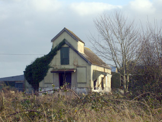 Race Creamerycreamery · 589 yd
 Pallas MoatCastle, motte · 598 yd
 Field system in CloghaderreenField system · 766 yd
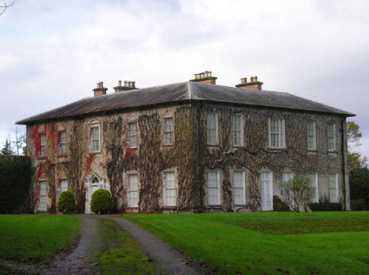 Derkcountry house · 1302 yd
 KnockseefinMountain / peak · 1.6 mi
 ToberagaddySpring · 1.9 mi
 St. Patrick's WellSpring · 2.3 mi
 Kilteely HillMountain / peak · 2.6 mi
 Flat cemetery in Knockainy WestFlat cemetery · 6.4 mi
 Ballinvreena LoopVisitor information · 11 mi