What is recorded here
In flat terrain, under pasture. Enclosure identified as a circular cropmark on aerial photograph (ASIAP (27) 31-2) taken in August 1996. Not visible at ground level. Field boundary N of the enclosure has been removed.
Compiled by: Jean Farrelly
Date of upload: 26 August 2011
This remains an important historical record, but the official description says the monument is no longer visible or has been destroyed. The monument record does not grant public access. Check the route and ask the landowner before entering private land.
- What survives
- No visible remains or recorded as destroyed
Places near here
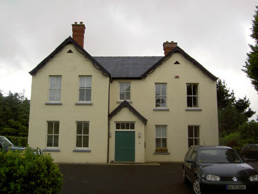 Clashaniska Househouse · 419 yd
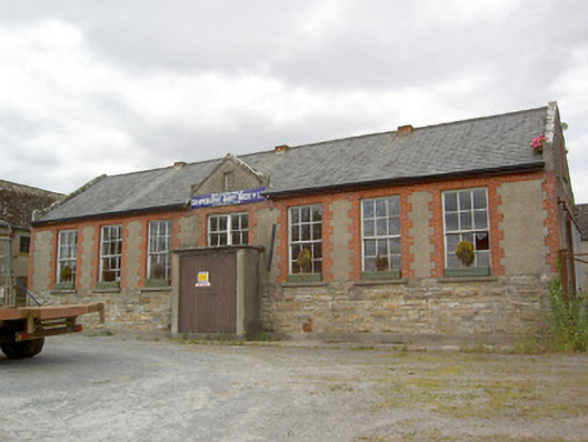 Ballypatrick Co-Operative Dairy Societycreamery · 1007 yd
 CrossCross, Tau cross · 1217 yd
 LisbaltingEnclosure · 1270 yd
 Kilcash CastleCastle · 1.1 mi
 Kilcash Castle (in ruins)Castle, tower house · 1.1 mi
 Carrigaloe RockNamed rock · 1.7 mi
 Kilcash WoodForest · 1.8 mi
 Garden of RenewalNature reserve · 2.4 mi
 Maurice DavinMemorial · 2.6 mi
 SlievenamonMountain / peak · 3.0 mi
 CarrigcoumMountain / peak · 3.0 mi