
What is recorded here
From the National Monuments Service (Archaeological Survey of Ireland) record TS078-070
Places near here
Photo credits
- National Inventory of Architectural Heritage
- RustyTheDog, Wikimedia Commons · CC BY-SA 3.0
- Humphrey Bolton, Geograph · Creative Commons Attribution-ShareAlike 2.0
- Mike Searle, Wikimedia Commons · CC BY-SA 2.0
- Humphrey Bolton, Geograph · CC BY-SA 2.0
- Maker not stated on source page, www.pinterest.com
- Maker not stated on source page, www.alamy.com
- Maker not stated on source page, www.flickr.com
- Maker not stated on source page, in.pinterest.com
- Chmee2, Wikimedia Commons · CC BY-SA 3.0
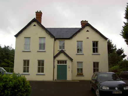 Clashaniska HouseHouse · 419 yd
Explorer Tom Clashaniska House is in a full-blown fairy dispute over parking rights because someone left a wheelie bin on the drive.…
 Ballypatrick Co-Operative Dairy SocietyCreamery · 1007 yd
Explorer Tom Ballypatrick Co-Operative Dairy Society is basically a cheese factory that went to finishing school with its sandstone…
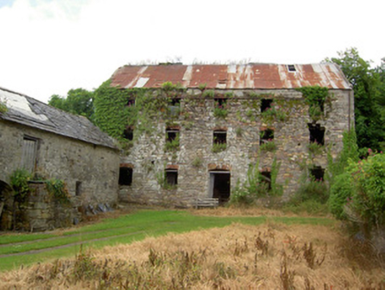 mill (water)1.0 mi
Explorer Tom That watermill in Graigue used to grind grain but apparently also ground axes between lonely hearts, thanks to some…
 Kilcash Church (in ruins)Church · 1.1 mi
Explorer Tom Kilcash Church on Slievenamon is playing hard to get. Saint Patrick probably just wandered past it, muttered something…
 Grave YardGraveyard · 1.1 mi
Explorer Tom Graveyard in Kilcash is on a slope with a tower house watching over it like a nosy neighbor. It’s rectangular and…
 Kilcash CastleCastle · 1.1 mi
Explorer Tom Kilcash Castle started with a tower built for defence and later acquired a hall with larger windows, the architectural…
 Kilcash Castle (in ruins)Castle, tower house · 1.1 mi
Explorer Tom Kilcash Castle has a ghost that’s too lazy to haunt it properly, so he just sits in the corner reading newspapers and…
 Toor CemeteryGraveyard · 1.2 mi
Explorer Tom Toor Cemetery in County Tipperary has very strict rules: no talking above a whisper and definitely no whistling unless…
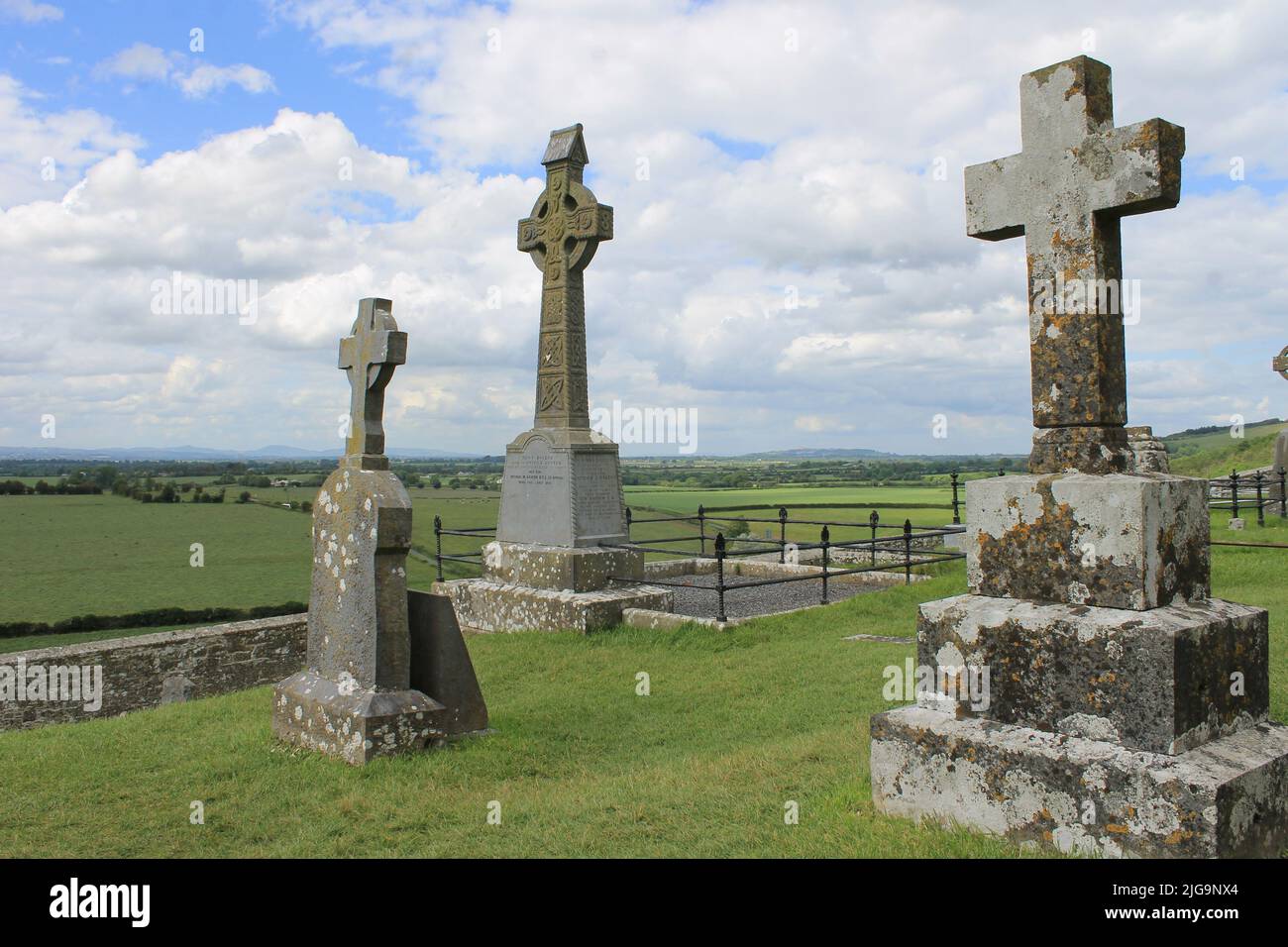 Mapped graveyardGraveyard · 1.6 mi
Explorer Tom This spot nearly made national news when a tourist mistook a bent fence post for a gargoyle and went viral. It was on…
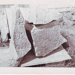 Inscribed stone in Glen Lower (upperthird By.)Inscribed stone · 1.9 mi
Explorer Tom Inscribed stone in Glen Lower is a datestone that refuses to admit it’s been part of a wall for centuries, acting like…
 Kilsheelan bridgeVisitor information · 2.4 mi
Explorer Tom Kilsheelan bridge is proud of the fact that it hasn’t collapsed since 1750 or something. It’s basically a giant stone…
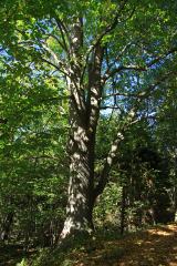 Large-leaved Lime2.7 mi
Explorer Tom Large-leaved Lime in County Waterford is doing a serious bit on the tree app, rating every visitor for their shoe…
More archaeology and monuments in County Tipperary · All of County Tipperary

What do you know about this place?Tap to add a comment or ask a question