
What is recorded here
On a knoll of rock outcrop, close to seashore on the inner reaches of Cuan Chasla. Marked on 1st ed. of OS 6-inch map as a circular enclosure (D c. 25m). No visible surface trace survives.
The above description is derived from the published 'Archaeological Inventory of County Galway Vol. I - West Galway'. Compiled by Paul Gosling (Dublin: Stationery Office, 1993).
Date of upload: 05 August 2010
A local fairy fort (ringfort/rath); wider significance not recorded.
The monument record does not grant public access. Check the route and ask the landowner before entering private land.
- What survives
- Recorded monument
Places near here
 Tóin na hAirdeHeadland · 169 yd
 Aill na GraíCliff · 636 yd
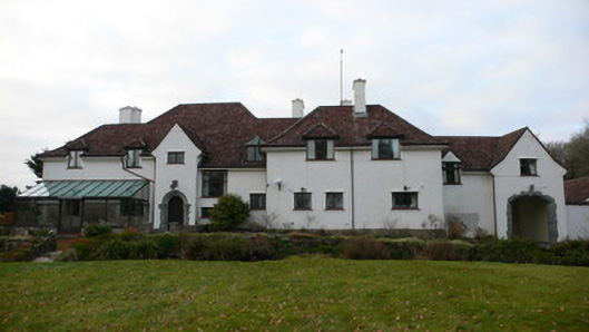 Costello Lodgehouse · 1035 yd
 Droichead an Chroisín [Crusheen Bridge]bridge · 1073 yd
 Holy well in CladhnachHoly well · 1276 yd
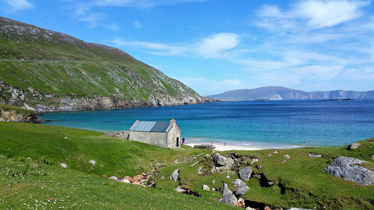 Oileán na bhFaochachaIslet · 1548 yd
 Cnoc Ros an MhílMountain / peak · 1.4 mi
 Ordnance TowerMartello tower · 1.9 mi
 Cnoc an PhobailMountain / peak · 2.1 mi
 Trá an Chaoráin MhóirBeach / strand · 2.2 mi
 An Ros RuaIsland · 2.4 mi
 Trá na ReiligeBeach / strand · 2.5 mi
Other information
Photo: Credit not shown in the picture search · Rights wording not checked; contact us if this picture should be removed