![Túr Martello Ros an Mhíl [Rossaveel Martello Tower]](https://upload.wikimedia.org/wikipedia/commons/f/f3/T%C3%B3in_an_Chnoic_%28Tonacrick%29_-_geograph.org.uk_-_1291076.jpg?utm_source=commons.wikimedia.org&utm_campaign=imageinfo&utm_content=original)
More pictures of this place


What is recorded here
The ordinary view hides the useful part of the story. Square-headed opening to single entrance situated about 12m above ground level, base of opening having bevelled channel sloping outward and downward with iron bar at top probably to attach ladder.
Freestanding three-stage artillery platform, built c.1804, now derelict, comprising irregular coursed rubble stone foundation supporting ashlar limestone tower with plinth, sides of tower flaring slightly inwards until top five courses which are vertical. Square-headed and camber-headed window openings with iron bars. Square-headed opening to single entrance situated about 12m above ground level, base of opening having bevelled channel sloping outward and downward with iron bar at top probably to attach ladder. Small stone-built causeway leads from track to access tower.
Square-headed opening to single entrance situated about 12m above ground level, base of opening having bevelled channel sloping outward and downward with iron bar at top probably to attach ladder.
This tower is a good example of part of the comprehensive coastal defences erected around Ireland by the British government to counter the threat of invasion from Napoleonic France. Its walls are of a high order of construction and the positioning of the doorway high above the ground emphasises its military function. Its scenic location, overlooking Cuan Cashla [Cashla or Costelloe Bay], belies the intention of its builders in a time of perceived danger.
The story behind this place
Square-headed opening to single entrance situated about 12m above ground level, base of opening having bevelled channel sloping outward and downward with iron bar at top probably to attach ladder.
This does not grant access. Most recorded buildings are privately owned; view them only from public ground unless the owner allows entry.
Places near here
 Ordnance TowerMartello tower · 1 yd
 Gob Thóin an ChnoicHeadland · 712 yd
 Cnoc Ros an MhílMountain / peak · 883 yd
 Cashla Bay Dir. LightLighthouse · 1117 yd
 Trá an Chaoráin MhóirBeach / strand · 1176 yd
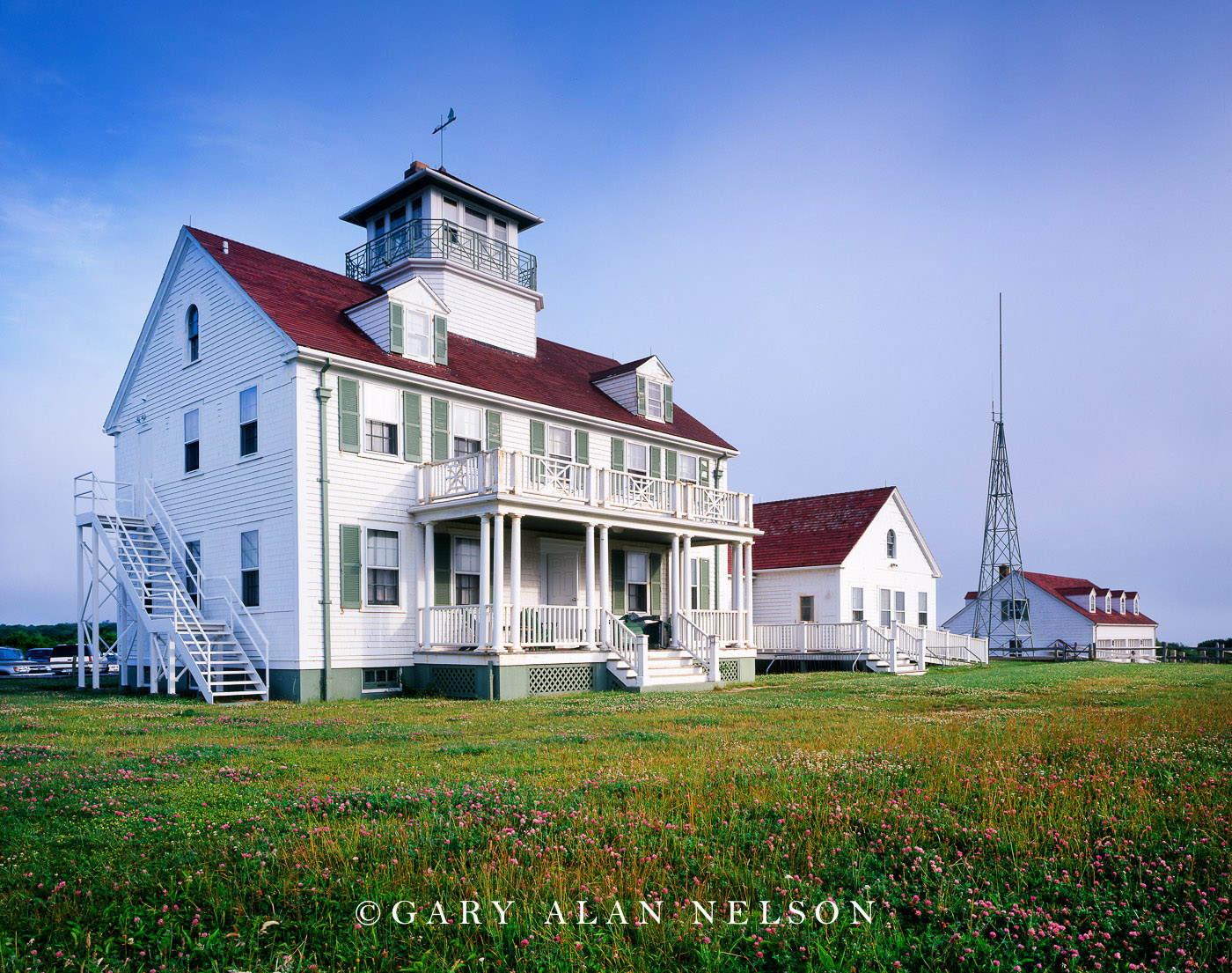 Coast Guard StationBuilding · 1377 yd
 Trá na ReiligeBeach / strand · 1384 yd
 Grave YardBurial ground · 1438 yd
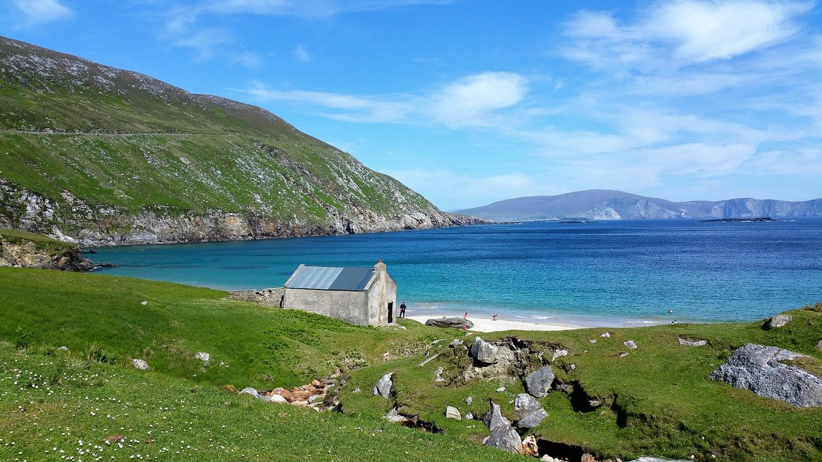 Oileán na bhFaochachaIslet · 1.1 mi
 Cnoc an PhobailMountain / peak · 1.1 mi
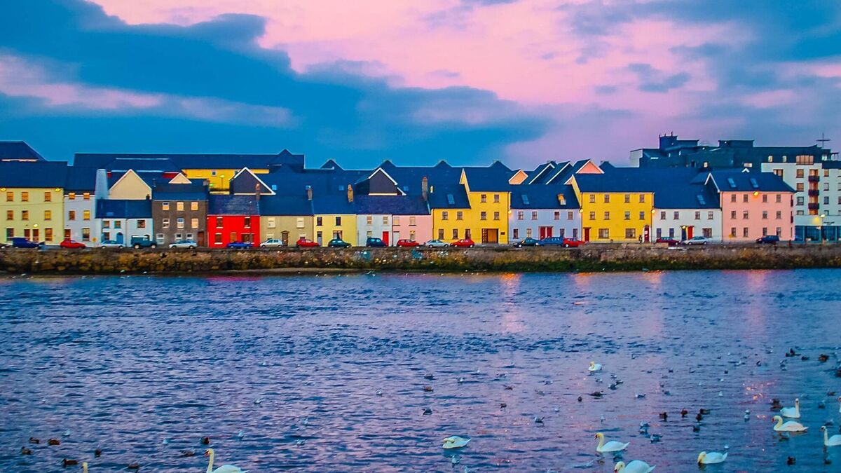 Aill an ChlogáisHeadland · 1.5 mi
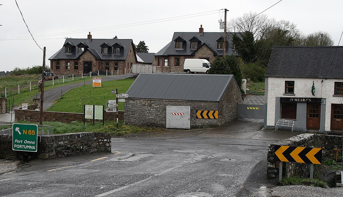 Carraig an ImeIslet · 2.7 mi
Other information
Photo: Graham Horn · CC BY-SA 2.0