What is recorded here
In improved, level pasture. Identified on an aerial photograph (GSI R428/9, 16/04/1974). A sub-oval area (dims. 21m N-S; 18m E-W) defined by low scarp (Wth 1.35m; H 0.25m) and an external fosse (Wth 4.5m; D 0.15m). The scarp is most pronounced in the W sector, which has been truncated by a field boundary running N-S. The fosse is visible from ESE-WSW, with the possible remains of waterlogged fosse in the W quadrant, E of the field boundary. There is a causewayed entrance (Wth 6m) at the ESE. The interior has a very gentle S-facing slope.
Compiled by: Jean Farrelly
Date of upload: 24 September 2013
The monument record does not grant public access. Check the route and ask the landowner before entering private land.
- What survives
- Recorded monument
Places near here
 Enclosure in LisheenkyleEnclosure · 1408 yd
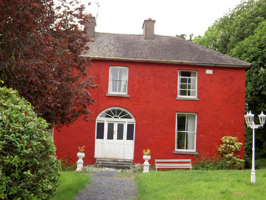 Chadville Househouse · 1716 yd
 Enclosure in Newtown (solloghodbeg Par.)Enclosure · 1.5 mi
 IndicatedCastle, unclassified · 1.5 mi
 Soloheadbeg Ambushambush · 1.6 mi
 Garryshane National Schoolschool · 1.7 mi
 Donohill MoatCastle, motte and bailey · 1.7 mi
 Soloheadbeg Ambush SiteMemorial · 2.1 mi
 Oola HillMountain / peak · 3.1 mi
 I.R.A. 3rd. Tipperary Brigade MemorialMemorial · 4.5 mi
 It's a long way to TippereryHeritage attraction · 4.5 mi
 European ashEuropean ash · 5.1 mi