What is recorded here
Located on top of a natural low hillock in undulating countryside. Roughly circular area (diam 28m E-W) defined by a scarp (H 1.7m) with no evidence of an outer fosse or entrance feature. The interior of the site slopes from SE to NW following the natural slope of the low hillock. Natural bedrock protrudes from the surface of the interior in several places. Difficult to imagine site as a habitation site such as a ringfort due to protruding bedrock and lack of diagnostic features. Depicted on first edition of the OS 6-inch map as a possible landscape feature.
The above description is derived from the published 'Archaeological Inventory of County Offaly' (Dublin: Stationery Office, 1997). In certain instances the entries have been revised and updated in the light of recent research.
Date of upload: 23 May 2011
The monument record does not grant public access. Check the route and ask the landowner before entering private land.
- What survives
- Recorded monument
Places near here
 OutlinedCastle, unclassified · 832 yd
 Church (Site of)Church · 994 yd
 Enclosure in Glebe (garrycastle By., Doon Ed)Enclosure · 1020 yd
 Bawn in Lackagh MoreBawn · 1082 yd
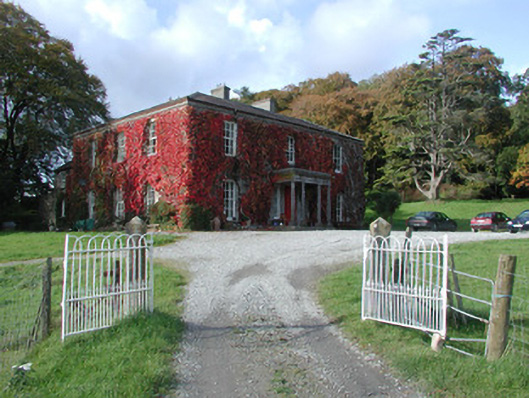 The Dooncountry house · 1760 yd
 RoadRoad, class 3 togher · 1.5 mi
 Endrim HillMountain / peak · 2.5 mi
 European ashEuropean ash · 2.6 mi
 Ballylin Bog BoardwalkHeritage attraction · 3.5 mi
 Saint Reaghan's WellSpring · 3.9 mi
 Long IslandIsland · 5.4 mi
 Cocta HillMountain / peak · 5.6 mi