What is recorded here
In improved, undulating pasture, on an E-facing slope of a ridge. Remains of oval area (dims. 34m N-S; 22m E-W) defined by scarp SE-NE (Wth 1.2-1.4m; H 0.1-0.12m) and levelled into natural slope NE-SE. Fosse (overall Wth 4.1m; basal Wth 0.9m; D 0.15m) NE-SE. Fosse (overall Wth 3.2m; basal Wth 1m; D 0.05m) is barely traceable SE-SW and NW-NE. Monument has been cut into hillslope to W, where interior of monument is lower than exterior ground level. Interior grass covered and uneven.
Compiled by: Jean Farrelly
Date of upload: 26 August 2011
The monument record does not grant public access. Check the route and ask the landowner before entering private land.
- What survives
- Recorded monument
Places near here
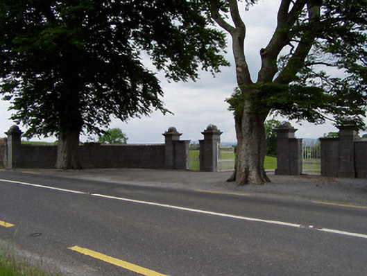 Rock Viewdemesne walls/gates/railings · 384 yd
 Field system in CastlelakeField system · 1147 yd
 Enclosure in FarranamanaghEnclosure · 1161 yd
 IndicatedBuilding · 1370 yd
 Ballynahinch Castle (in ruins)Castle, tower house · 1384 yd
 Castle in ruinsCastle, tower house · 1.5 mi
 Athassel PrioryHeritage attraction · 2.4 mi
 Hore AbbeyHeritage attraction · 2.4 mi
 Dundrum Woods (Marl Bog)Forest · 5.5 mi
 European ashEuropean ash · 6.4 mi
 I.R.A. 3rd. Tipperary Brigade MemorialMemorial · 8.3 mi
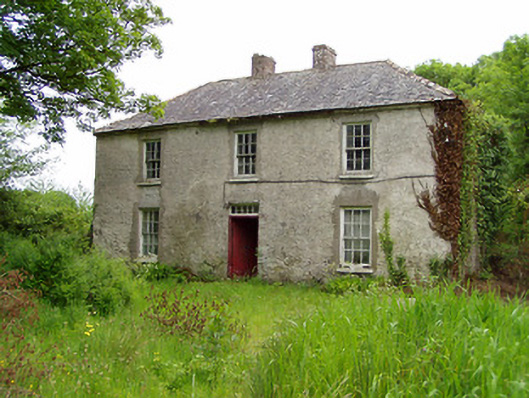 Castlelake Millmiller's house · 1465 yd