What is recorded here
This is a rectangular enclosure evident on Google Earth immediately SW of a field boundary and c. 45m NW of ringfort (LI015-037----).
From the National Monuments Service (Archaeological Survey of Ireland) record LI015-090
The monument record does not grant public access. Check the route and ask the landowner before entering private land.
- What survives
- Recorded monument
Places near here
Photo credits
- Mike Searle, Geograph · CC BY-SA 2.0
- John, Geograph · CC BY-SA 2.0
- National Inventory of Architectural Heritage
- Mike Searle, Wikimedia Commons · CC BY-SA 2.0
- Antony Dixon, Wikimedia Commons · CC BY-SA 2.0
IndicatedFairy fort / earthen ringfort · 107 ydEnclosure in CastlegardeEnclosure · 245 yd Castle GardeCountry house, castle/fortified house · 696 ydBlackboy BridgeBridge · 1641 ydCappamore Co-Operative CreameryCreamery, chimney · 1.4 miCappamore BridgeBridge · 1.4 miMadden'sHouse · 1.4 miCoonagh CastleCastle · 2.4 miKilduff CastleCastle · 2.9 miToberagaddySpring · 2.9 miKnockseefinMountain / peak · 3.8 miSlieve FelimMountain / peak · 4.8 mi
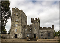 Castle GardeCountry house, castle/fortified house · 696 yd
 Blackboy BridgeBridge · 1641 yd
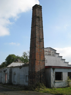 Cappamore Co-Operative CreameryCreamery, chimney · 1.4 mi
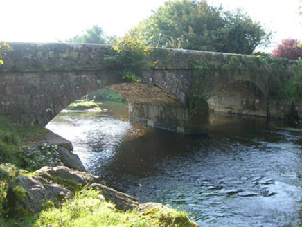 Cappamore BridgeBridge · 1.4 mi
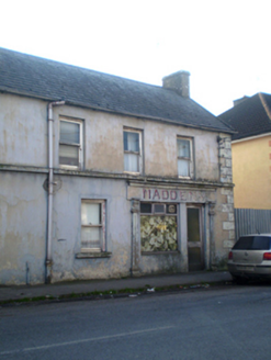 Madden'sHouse · 1.4 mi
 Coonagh CastleCastle · 2.4 mi
 Kilduff CastleCastle · 2.9 miToberagaddySpring · 2.9 miKnockseefinMountain / peak · 3.8 mi
 Slieve FelimMountain / peak · 4.8 mi
More archaeology and monuments in County Limerick · All of County Limerick
What do you know about this place?