
What is recorded here
From the National Monuments Service (Archaeological Survey of Ireland) record KK031-105
Places near here
Photo credits
- Mike Searle, Geograph · CC BY-SA 2.0
- Maker not stated on source page, commons.wikimedia.org
- Humphrey Bolton, Wikimedia Commons · CC BY-SA 2.0
- Maker not stated on source page, www.luxurylifestylemag.co.uk
- National Inventory of Architectural Heritage
- Maker not stated on source page, www.pinterest.com
- Maker not stated on source page, www.pinterest.com.au
- Maker named on the Wikimedia Commons picture page · CC BY-SA 3.0
 Castle ColumbCastle, tower house · 730 yd
Explorer Tom Castle Columb was built after two lads made a bet in the pub. One said he could build it before the rain stopped; he…
 Graveyard in CastlecolumbGraveyard · 807 yd
Explorer Tom Graveyard in Castlecolumb handles nosey neighbours by simply not existing on any modern map they might check. It’s got…
 Knocktopher ChurchChurch/chapel · 905 yd
Explorer Tom Knocktopher Church used to be for prayer but now an art glass studio is squatting in the back. I bet the matchmaker who…
 CastleCastle, unclassified · 923 yd
Explorer Tom Castle in Whitescastle Lower is playing hard to get because nobody knows what it actually looks like anymore. It…
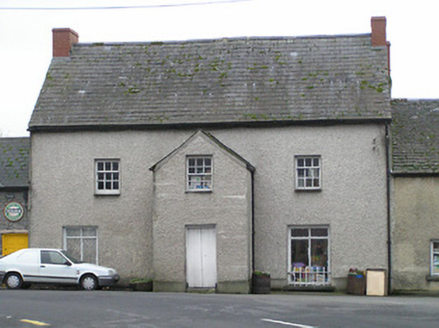 hotel992 yd
Explorer Tom Hotel in Bowersacre has an unlikely celebrity friend, probably a ghost who used to own the place in 1750. It’s a…
 Vicarsfield RectoryRectory/glebe/vicarage/curate's house · 1017 yd
Explorer Tom Vicarsfield Rectory in Barrettstown has seen some truly dramatic stuff, like a vicar accidentally painting the front…
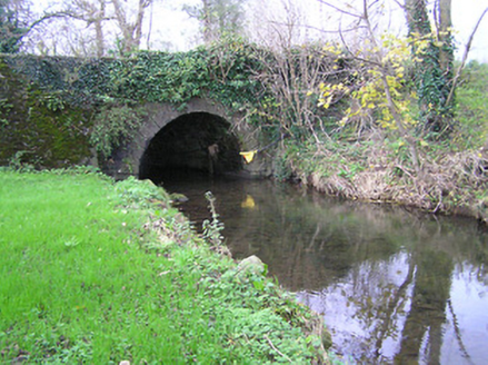 bridge1052 yd
Explorer Tom Bridge in Commons has a hidden message carved into its stones that only appears when the river is exactly the right…
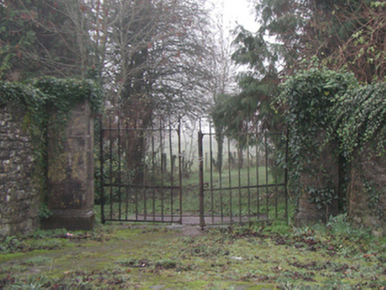 Knocktopher AbbeyGates/railings/walls · 1129 yd
Explorer Tom Knocktopher Abbey gateways are in a bit of a drama with the nearest tree. The tree keeps dropping leaves on them, and…
 Knocktopher CemeteryCemetery · 1170 yd
Explorer Tom Knocktopher Cemetery in County Kilkenny has an imaginary twin across the sea that sends it postcards about the weather.…
 Holy well in KnocktopherabbeyHoly well · 1291 yd
Explorer Tom Holy well in Knocktopherabbey has been hiding a massive scandal involving a stolen cow and a very angry priest. It’s…
 Fairy fort / ringfort in KnocktophermanorFairy fort / ringfort · 1372 yd
Explorer Tom Fairy fort / ringfort in Knocktophermanor was refused entry by a bishop who thought it looked too messy for his taste.…
 Turkey Oak1.0 mi
Explorer Tom Turkey Oak in County Kilkenny is famous because the Vikings got completely lost looking for it and ended up in a bog…
More archaeology and monuments in County Kilkenny · All of County Kilkenny

What do you know about this place?Tap to add a comment or ask a question