
What is recorded here
From the National Monuments Service (Archaeological Survey of Ireland) record CL024-007
Places near here
Photo credits
- Maker not stated on source page, www.megalithicireland.com
- Willow, Wikimedia Commons · CC BY 2.5
- Maker not stated on source page, visitclare.ie
- National Inventory of Architectural Heritage
- Maker not stated on source page, commons.wikimedia.org
- Gordon Hatton, Geograph · CC BY-SA 2.0
- Maker not stated on source page, www.pinterest.com
- Kmcnamee, Wikimedia Commons · CC BY-SA 4.0
- Golfing in Ireland; photographer not stated, Source publisher
- N Chadwick, Wikimedia Commons
- Maker not stated on source page, www.alamy.com
 Wedge tomb in Drumanure (inchiquin By.)Wedge tomb · 1600 yd
Explorer Tom The wedge tomb in Drumanure has an imaginary twin across the sea that it writes letters to regularly. They argue about…
 European ash1.2 mi
Explorer Tom European ash in County Clare was once used for smuggling whiskey, with bottles hidden inside its hollow trunk where no…
 Megalithic structure in Ballyea SouthMegalithic structure · 1.5 mi
Explorer Tom Megalithic structure in Ballyea South is guarded by a hero nobody remembers, probably because he was too busy napping.…
 Moananagh BridgeBridge · 2.6 mi
Explorer Tom Moananagh Bridge is hump-backed like a very proud donkey who refuses to sit down. Four arches over the Inagh, built…
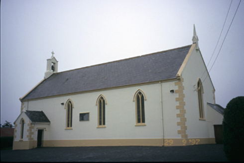 Saint Columba's Catholic ChurchChurch/chapel · 2.7 mi
Explorer Tom Saint Columba's Catholic Church in Teerleheen is pretending it’s ancient, but let's be honest, it’s just a posh 1846…
 Ennistymon Old CemeteryGraveyard · 5.0 mi
Explorer Tom Ennistymon Old Cemetery in County Clare would be the uncle at a wedding who gives a really long speech nobody asked for…
 Smithstown Castle (in ruins)Castle, tower house · 6.3 mi
Explorer Tom Smithstown Castle on a rocky outcrop is officially gone, but I swear it’s just napping. It thinks Dublin tourists are…
 CastleCastle, unclassified · 23 mi
Explorer Tom Castle in Farrihy is betting two lads lost their shirts over who owned it first. No one seems to know, but I bet…
 St. Sennan's, Kilkee GAA pitchGAA ground · 25 mi
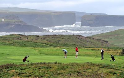 Kilkee Golf ClubGolf course · 25 mi
 Kilkee BeachBeach · 26 mi
Explorer Tom Kilkee Beach curves around a bay as if the town ordered a sandy armchair. Fáilte Ireland calls Kilkee a seaside stop…
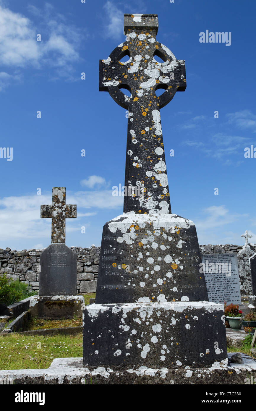 Graveyard in KilfearaghGraveyard · 27 mi
Explorer Tom Graveyard in Kilfearagh is famous for a shortcut that isn't, leading you through mud, nettles, and a very angry…
More archaeology and monuments in County Clare · All of County Clare

What do you know about this place?Tap to add a comment or ask a question