What is recorded here
On an E-facing slope just off the crest of a low NE-SW ridge in pasture c. 350m E of the river Fergus. A circular enclosure (diam. c. 36m) defined by a shallow fosse visible on Google Earth (imagery date 10 February 2021) and also on OPW LiDAR (2006) (available on the GSI Open Topographic Data Viewer https://data.gov.ie/dataset/open-topographic-lidar-data, accessed 5 October 2021).
The following images have been uploaded:
CL042-202----_01.jpg Google Earth image (2021)
CL042-202----_02.jpg OPW LiDAR image (2006)
Compiled by: Mary Tunney
Date of upload: 5 October 2021
The monument record does not grant public access. Check the route and ask the landowner before entering private land.
- What survives
- Recorded monument
Places near here
 Enclosure in KnockanimanaEnclosure · 1492 yd
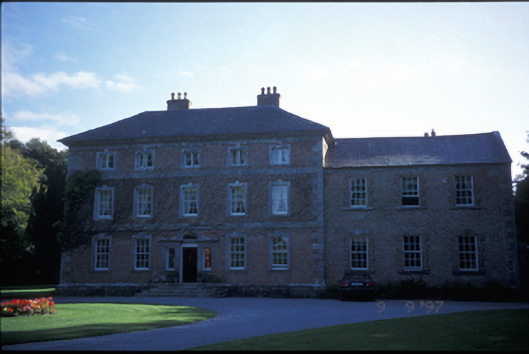 Carnelly Housecountry house · 1597 yd
 LissanFairy fort / stone ringfort · 1738 yd
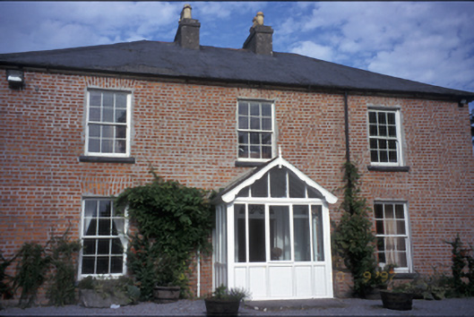 Manus Househouse · 1.1 mi
 Irish Famine MemorialMemorial · 1.4 mi
 G.A.A. Commemorative StoneMemorial · 1.4 mi
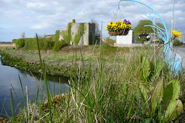 Clare CastleCastle · 1.4 mi
 HawthornHawthorn · 1.4 mi
 Castlefergus or Ballyhannan(in Rns) 1922Castle, tower house · 1.9 mi
 Killone AbbeyHeritage attraction · 2.2 mi
 Abbey WoodForest · 2.2 mi
 Alice and Gwendoline CaveMuseum · 2.7 mi