
What is recorded here
Reported by Mr Conn Herriott and visible on aerial imagery (Map Genie imagery 2013-2018). On a small ‘island’ near the W shore of Skeghard Lough, a lake subject to fluctuating water levels and flooding. A circular enclosure (est. diam c. 15m) is defined by an overgrown bank, apparently best preserved E-S-W.
See attached image: CL010-294----_01.JPG Snip from Map Genie imagery (2013-2018)
Compiled by: Gearóid Conroy
Date of upload: 11 May 2023
The monument record does not grant public access. Check the route and ask the landowner before entering private land.
- What survives
- Recorded monument
Places near here
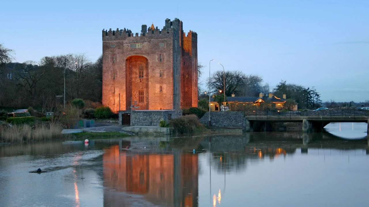 Castle (in ruins)Castle, tower house · 1156 yd
 R.C. Chapel (in ruins)Church · 1677 yd
 IndicatedFairy fort / stone ringfort · 1.2 mi
 Slieve RoeMountain / peak · 1.4 mi
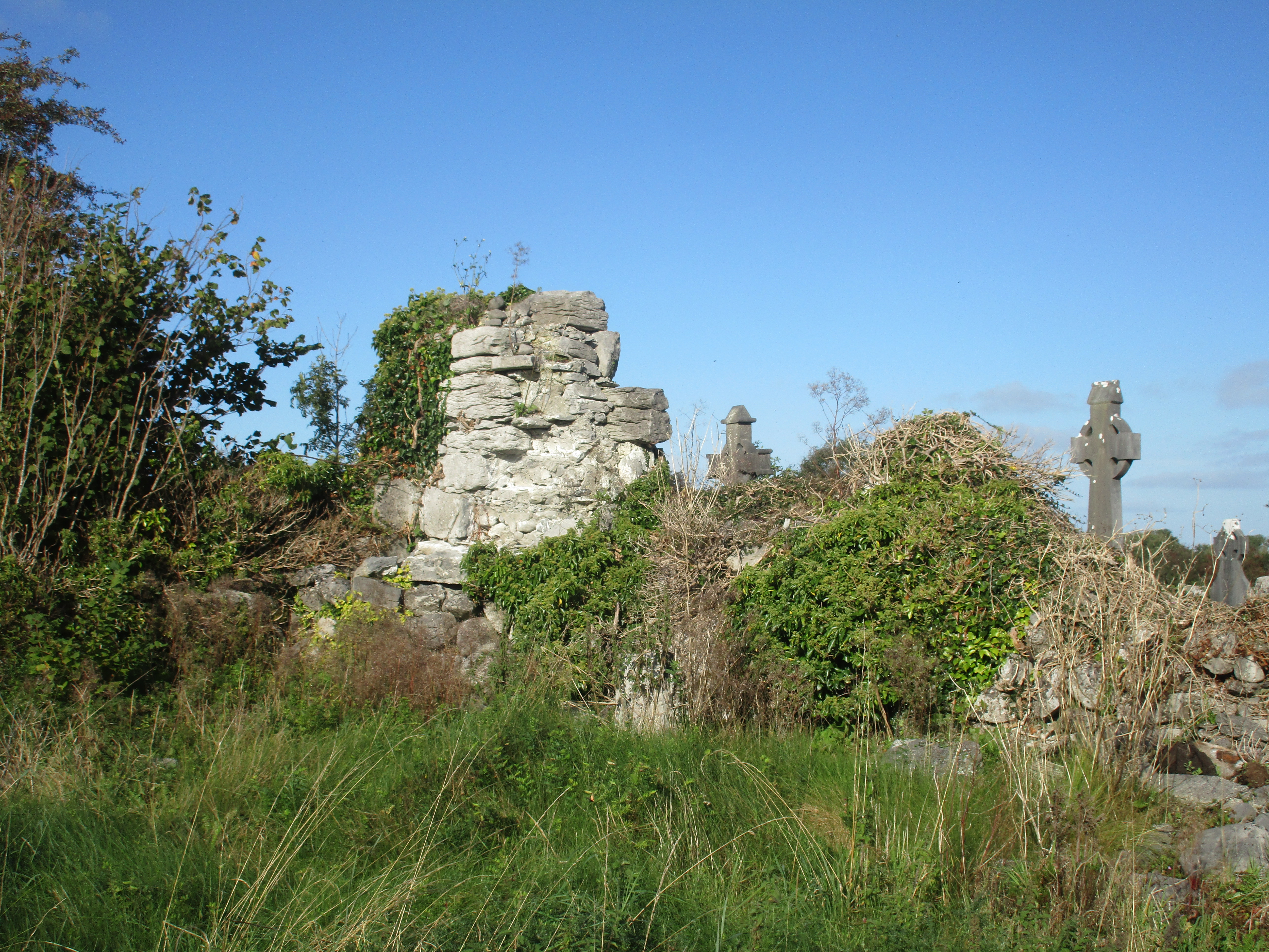 Church (in Ruins)Church · 1.4 mi
 Burren National ParkNature reserve · 1.5 mi
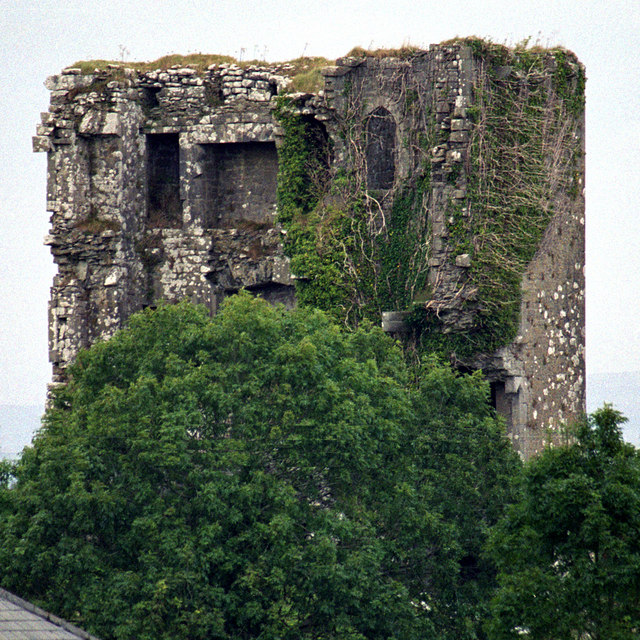 Kilkeedy Castle (in ruins)Castle, tower house · 1.8 mi
 Enclosure in BallaghaglashEnclosure · 1.8 mi
 Mullagh MoreMountain / peak · 1.8 mi
 Kilnaloone GraveyardArchaeological place · 2.8 mi
 Father Ted's HouseHeritage attraction · 2.8 mi
 Kilmacduagh Monastic SiteVisitor information · 3.7 mi
Other information
Photo: Credit not shown in the picture search · Rights wording not checked; contact us if this picture should be removed