What is recorded here
In low-lying, level pasture. Reported by Jean-Charles Caillere. Visible on Google Earth aerial imagery (16-3-2011) as the cropmark of a square enclosure (L c. 30m; Wth c. 30m). A ringfort site (R0048-084----) lies in the adjoining field c. 90m to the ESE.
See attached image: RO048-201_01 Google Earth aerial image (16-3-2011)
Compiled by: Gearóid Conroy
Date of upload: 2 February 2023
The monument record does not grant public access. Check the route and ask the landowner before entering private land.
- What survives
- Recorded monument
Places near here
 Man-made underground passage in CarrowkeenyMan-made underground passage · 898 yd
 IndicatedChurch · 925 yd
 Embanked enclosureFairy fort / earthen ringfort · 1.1 mi
 Penitential station in EskerbaunPenitential station · 1.3 mi
 Curraghboy CastleCastle, unclassified · 1.4 mi
 Carnagh BayBay · 3.0 mi
 Bally BayBay · 3.0 mi
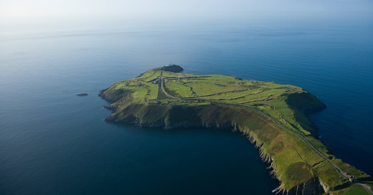 Sedgy IslandIslet · 3.1 mi
 InchihicleleyIslet · 3.1 mi
 CastlesampsonCastle, tower house · 3.3 mi
 Sheep HillMountain / peak · 5.2 mi
 Siege of Athlonesiege · 5.4 mi