What is recorded here
Not marked on any edition of the OS 6-inch map. Situated on a S-facing slope at the SE side of Red Hill. Semi-circular enclosure, defined on the N side by a linear field boundary, identified from aerial photograph. No definite remains visible at ground level. However an ephemeral arc of slightly drier vegetation defining a circular area (diam. c.20m) may mark the site of the enclosure.
Compiled by: Patrick F. O'Donovan
Date of upload: 19 January 2011
The monument record does not grant public access. Check the route and ask the landowner before entering private land.
- What survives
- Recorded monument
Places near here
 Enclosure in Lecarrow (tireragh By., Skreen Ed)Enclosure · 359 yd
 IndicatedEnclosure · 457 yd
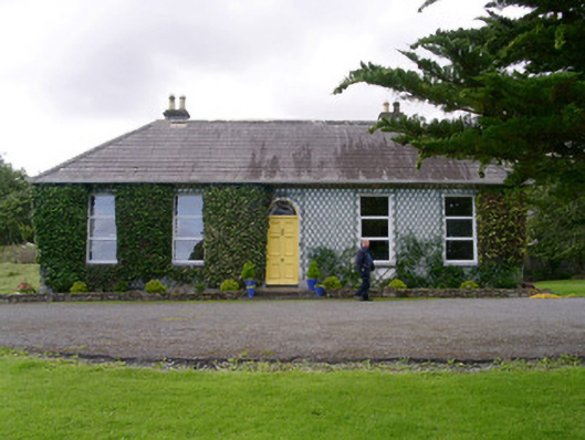 Holy Hill Hermitagehouse · 648 yd
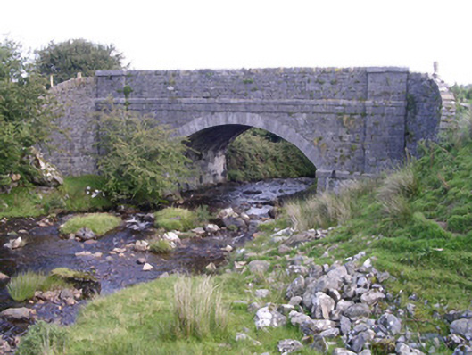 bridgebridge · 1129 yd
 Knockalongy North-East TopMountain / peak · 2.0 mi
 Valley WoodForest · 2.4 mi
 KnockalongyMountain / peak · 2.5 mi
 Bawn in Longford DemesneBawn · 2.7 mi
 Dunmoran StrandBeach / strand · 2.7 mi
 Pigeonpark WoodForest · 2.7 mi
 Aughris BeachBeach / strand · 3.1 mi
 Giant's GraveArchaeological place · 3.3 mi