What is recorded here
On a gentle SW-facing slope in reclaimed pasture. Hachured on the 1842 ed. of the OS 6-inch map. This almost levelled suboval enclosure (c. 26m WNW-ESE; c. 20m NNE-SSW) is defined by a low bank (Wth at N c. 9m; H 0.1-0.2m) and is visible in ortho photographs (OSi MapGenie 2012-2018). There is another enclosure (CL011-025001-) c. 8m to the NW.
Compiled by: Mary Tunney and Conn Herriott
Date of upload: 24 January 2023
The monument record does not grant public access. Check the route and ask the landowner before entering private land.
- What survives
- Recorded monument
Places near here
 Enclosure in CarrowcraheenEnclosure · 52 yd
 IndicatedEnclosure · 197 yd
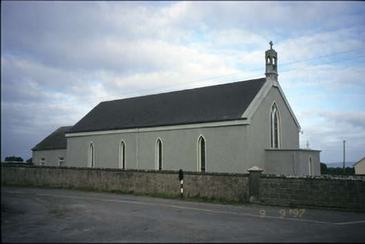 Saint Michael's Catholic Churchchurch/chapel · 488 yd
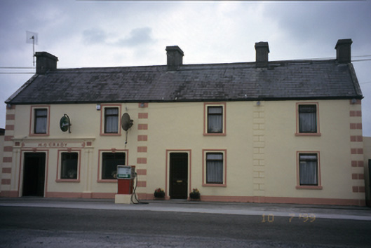 M. O'Gradyhouse · 527 yd
 Bawn in DerryowenBawn · 1548 yd
 Fiddaun Castle (in ruins)Castle, tower house · 1.4 mi
 Mulkere MemorialMemorial · 3.8 mi
 Kilmacduagh MonasteryHeritage attraction · 3.8 mi
 Kilmacduagh Monastic SiteVisitor information · 3.9 mi
 Slieve RoeMountain / peak · 4.3 mi
 Swan IslandIsland · 4.4 mi
 Mullagh MoreMountain / peak · 4.4 mi