What is recorded here
In pasture, located on a level terrace on a N-S ridge, bounded by a steep fall of ground on S–W, with a rath (SL012-043001-) located immediately to W at a higher level on the ridge. Shown on the 1913 OS 6-inch map as a hachured arc curving S–NW. Remnants of bank curving in a shallow arc S–NW can be discerned beneath dense overgrowth, possibly representing the W side of an originally circular enclosure (diam. c. 15-18m).
Compiled by: Jane O’Shaughnessy
Date of upload: 3 May 2013
The monument record does not grant public access. Check the route and ask the landowner before entering private land.
- What survives
- Recorded monument
Places near here
 IndicatedFairy fort / earthen ringfort · 488 yd
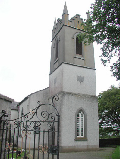 Saint Mary's Church (Kilmacshalgan)church/chapel · 760 yd
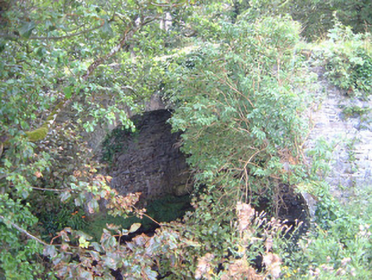 Ballygilcash Bridgebridge · 849 yd
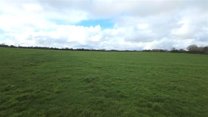 Man-made underground passage in BallyeeskeenMan-made underground passage · 1285 yd
 Site of Dunneill CastleCastle, unclassified · 1468 yd
 DonaghHeadland · 1.1 mi
 CastleCastle, tower house · 1.6 mi
 Split RockNamed rock · 3.4 mi
 Aughris BeachBeach / strand · 4.2 mi
 Jim Smith MemorialMemorial · 4.6 mi
 Dunmoran StrandBeach / strand · 5.0 mi
 Wild Atlantic Way: Easky PierVisitor information · 5.1 mi