What is recorded here
In rough pasture, located on a low ridge.
This enclosure is not indicated on the 1838 OS 6-inch map; but is shown on later map editions .
A very slightly raised oval area (29.5m NE−SW; c. 25m NW−SE) is defined at NE−SE by a very low curving stony bank , which peters out at SSE−S. A low stony bank is also evident at SW. At SW−NNE there is an upstanding drystone field wall which appears to respect the curve of the enclosure. The N half of the interior appears to be at a slightly higher level than the S half.
An old farm laneway, flanked by field walls, skirts the E side of the enclosure, extending beyond it to NE and SW. The N portion of the interior is planted with conifers.
Compiled by: Jane O’Shaughnessy
Date of upload: 16 February 2021
The monument record does not grant public access. Check the route and ask the landowner before entering private land.
- What survives
- Recorded monument
Places near here
 ToberbrideHoly well · 1529 yd
 IndicatedFairy fort / earthen ringfort · 1538 yd
 Brabazon WoodsForest · 1.1 mi
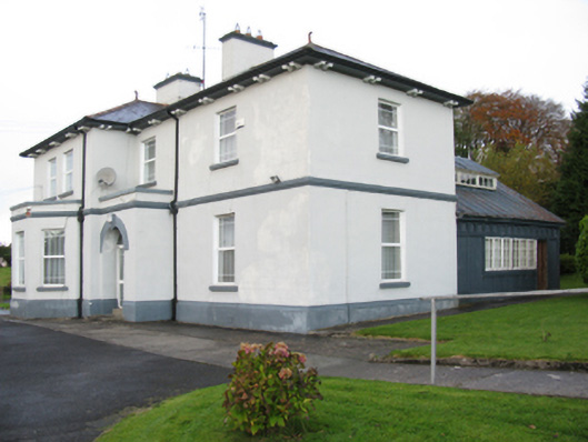 Catholic Church of Our Lady Help of Christianspresbytery/parochial/curate's house · 1.2 mi
 Swinford Courthousecourt house · 1.2 mi
 Youth Memorial GardenMemorial · 1.4 mi
 Procession Of The SoulsMemorial · 1.4 mi
 Thorn CaveCave · 2.5 mi
 HawthornHawthorn · 3.6 mi
 Castle (in Ruins)Castle, unclassified · 3.8 mi
 Hennigan's Heritage CentreHeritage attraction · 3.9 mi
 Kiltimagh MuseumMuseum · 5.7 mi