
What is recorded here
In pasture, on the SE outskirts of Swinford town. This holy well is shown on the 1838 edition OS 6-inch map, where it is named ‘Toberbride’; on the 1919 edition the location is marked as ‘Toberbride (Site of)’. There is no visible trace of the well.
Compiled by: Jane O'Shaughnessy
Date of upload: 22 January 2018
Toberbride is associated with Saint Bride (or Brigid), a figure linked to healing and fertility in early Irish Christianity. The well's name and historical presence suggest it was once a site of pilgrimage and ritual, possibly for curing ailments or seeking blessings for crops and livestock.
This remains an important historical record, but the official description says the monument is no longer visible or has been destroyed. The monument record does not grant public access. Check the route and ask the landowner before entering private land.
- What survives
- No visible remains or recorded as destroyed
Places near here
 Brabazon WoodsForest · 382 yd
 IndicatedFairy fort / earthen ringfort · 463 yd
 handball alleyhandball alley · 737 yd
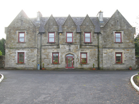 Swinford Union Workhouseworkhouse · 774 yd
 Procession Of The SoulsMemorial · 974 yd
 Youth Memorial GardenMemorial · 1144 yd
 Enclosure in NewparkEnclosure · 1329 yd
 HawthornHawthorn · 2.8 mi
 Castle (in Ruins)Castle, unclassified · 3.0 mi
 Hennigan's Heritage CentreHeritage attraction · 3.1 mi
 Thorn CaveCave · 3.2 mi
 Kiltimagh MuseumMuseum · 6.5 mi
Other information
Photo: Credit not shown in the picture search · Rights wording not checked; contact us if this picture should be removed